An all new edition of the ABC 33/40 Weather Xtreme video is available in the player on the right sidebar of the blog. You can subscribe to the Weather Xtreme video on iTunes by clicking here.
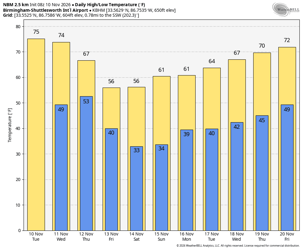
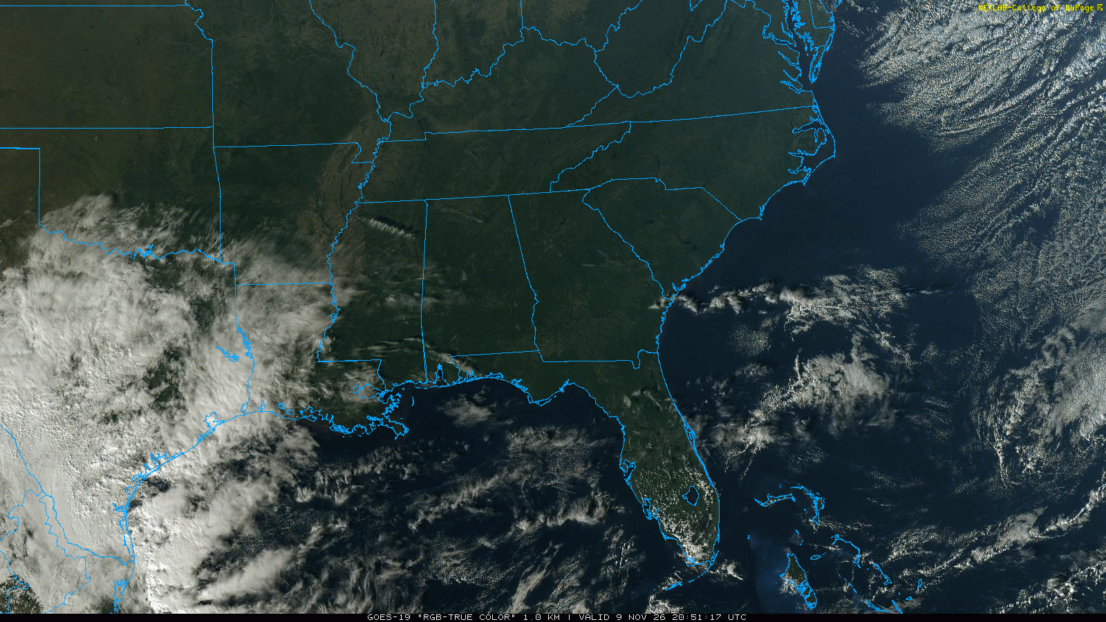
RIGHT NOW: Scattered to broken high clouds cover Alabama this afternoon… but we are still enjoying a good supply of sunshine, with temperatures generally between 68 and 73. Tomorrow will be a very similar day, with a partly sunny sky and a high in the low to mid 70s.
WATCH FOR THE WEDGE FRIDAY: Models still are painting a colder scenario for Friday. The very cold air near the Canadian border won’t move our way in the traditional fashion (moving in from the northwest)… instead, it will drain down the eastern slope of the Appalachian Mountains, easing into Alabama on Friday. The CAD (cold air damming) effect will mean some East Alabama communities won’t get out of the 50s, with highs in the low 60s over the central and western counties. And, with increasing moisture, showers will develop statewide during the day Friday.
WET SATURDAY: The 12Z models confirm that Saturday will be a very wet day. It could rain most of the day, with some thunderstorms involved. The good news is that the severe weather risk looks very minimal at this point with relatively stable air in place and marginal dynamics. We are projecting around two inches of rain in the two day period (Friday and Saturday), before the rain ends late Saturday night. If you have something planned outside, you might want to bring it inside (if you can).
SUNDAY/MONDAY: Sunday will be cooler with gradual clearing. The high will drop into the 50s, and with a clear sky Sunday night that will set the stage for lows in the 30-36 degree range early Monday. Then, we will enjoy sunshine in full supply Monday with a high around 60.
REST OF NEXT WEEK: We stay dry on Tuesday, but a passing cold front will bring a quick round of showers and storms on Wednesday. For now the severe weather threat for that feature looks relatively low with the best support to the north. Then, cooler and drier air settles in here Thursday and Friday. Again, some spots could make a run at the freezing mark early Thursday or Friday morning.
VOODOO LAND: No sign of any really serious invasion of cold air through mid-March… looks like temperatures will be generally above average with a warm ridge nosing in from the Gulf of Mexico at times… the mean upper trough will be out west where cold air is the story.
WEATHER BRAINS: Don’t forget you can listen to our weekly 30 minute netcast anytime on the web, or on iTunes. This is the show all about weather featuring many familiar voices, including our meteorologists here at ABC 33/40.
FOLLOW ALONG: Here are our weather team Twitter accounts….
| James Spann | Jason Simpson | Ashley Brand |
| J. B. Elliott | Bill Murray | Brian Peters |
| Dr. Tim Coleman | WeatherBrains Podcast | E-Warn (AL wx watches/warnings) |
I had a great time today visiting the 2nd graders at Meadow View Elementary in Alabaster, and the 1st graders at South Shades Crest Elementary in Hoover… they will be on the Pepsi KIDCAM today at 5:00 and 6:00 on ABC 33/40 News. The next Weather Xtreme video will be posted by 7:00 a.m. tomorrow…