


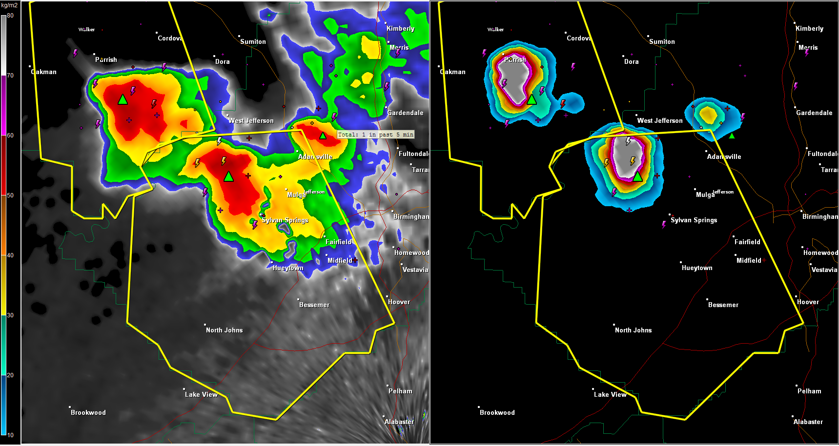
Look at these two big hailers over Walker and northwestern Jefferson Counties.
If you are in the yellow polygons, you are in a severe thunderstorm warning. Be ready for hail to the size of golfballs or larger. That size hail can severely damage your car.
The lead storm is going to affect I-59 from Fairfield southwest to near Lake View or the Tuscaloosa County line. I-459 will be affected from US-31 back to the 59 junction.
Do no be driving in the warning areas when these storms arrive.



