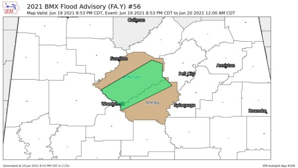
A broad zone, or line, of heavy showers and thunderstorms extended from north of Mobile NE through Chilton, Shelby and Talladega Counties in Central Alabama. It is a wide line, so a lot of communities are getting real downpours.
A Tornado Watch continues until noon for West-Central and SW Alabama, generally from Tuscaloosa, Bibb and Chilton Counties southward to the coast.
All of us weather humans, in unison, are now looking westward to a solid line of thunderstorms across West Tennessee, NW Mississippi and East Louisiana. We will deal with that later today. It is likely that a Tornado Watch will be extended further eastward in Alabama as the morning goes on.
THE BIG BAD LOW PRESSURE SYSTEM
It is an intense low pressure area and the latest position report was just south of Little Rock. It will continue NE today, passing aross extreme NW Tennessee into Kentucky. It is acting like a pump pulling moist air northward from the Gulf of Mexico. The entire state of Alabama is outlooked for a risk of severe weather today.
SAMPLING OF RAINFALL
2.03 inches in Clanton
1.03 in Cordova
1.37 in Sylacauga
2.15 in Selma
2.21 in Jemison
0.63 at Greystone Cove (North Shelby County)