


An all new edition of the ABC 33/40 Weather Xtreme video is available in the player on the right sidebar of the blog. You can subscribe to the Weather Xtreme video on iTunes by clicking here.
SNOW MOVES OUT OF ALABAMA: Seems like the heaviest snow early this morning was over East Alabama’s Cleburne, Randolph, and Chambers Counties; the shot here was taken at Ranburne early this morning (photo from Rhonda Estes)
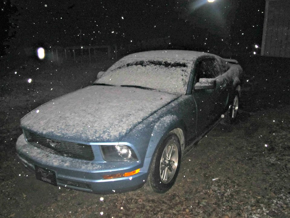
We have had reports of around 1/2 inch on grassy areas through these three counties.
Temperatures are now at or below freezing over much of North Alabama, so just understand if there is any standing water left over from yesterday’s soaking rain, there could be a few icy spots on bridges. Hopefully the wind will dry things out quickly this morning.
WINDY AND COLD: Despite the return of sunshine, today will be very harsh. We won’t get out of the mid 30s in many areas, and strong north winds of 15-25 mph will keep the wind chill index below freezing most of the day.
The wind dies down tonight, and we expect a low very close to 20 degrees early tomorrow morning, with colder valleys dropping into the mid to upper teens. It will be the coldest morning so far this season for most of Alabama; a hard freeze warning has been issued for many South Alabama counties by the NWS in Mobile.
EAST COAST MESS: Expect long airport delays today from Washington through Philadelphia and New York City to Boston due to wind and rain; snow is likely for from the Great Smoky Mountains up through West Virginia and into upstate New York.
THANKSGIVING DAY INTO THE WEEKEND: A warming trend begins tomorrow afternoon; with sunshine in full supply we warm into the mid 40s. For Black Friday shoppers, Friday morning will be cold again with a low in the mid 20s, but the high Friday afternoon will be in the mid 50s with a sunny sky.
We stay dry Saturday and Sunday with highs in the mid to upper 50s; clouds will begin to return late Sunday ahead of a short wave to the west.
IRON BOWL: Doesn’t get any better. A sunny Saturday in Auburn; temperature at kickoff (2:30p CT) will be near 55 degrees, dropping to near 50 by the final whistle.
NEXT WEEK: The latest GFS brings in some light rain Monday with the short wave, then dry and pleasant weather is expected for Tuesday and Wednesday. See the Weather Xtreme video for the maps, graphics, and details.
WEATHER BRAINS: Don’t forget you can listen to our weekly 90 minute netcast anytime on the web, or on iTunes. This is the show all about weather featuring many familiar voices, including our meteorologists here at ABC 33/40.
CONNECT: You can find me on all of the major social networks…
Facebook
Twitter
Google Plus
Instagram
We are now on a holiday schedule through the weekend… one Weather Xtreme video per day. Will get back to the two a day routine Monday. Be safe if you are traveling, and Happy Thanksgiving!



