


Tornado warning still in effect for Dallas County until 130 pm.
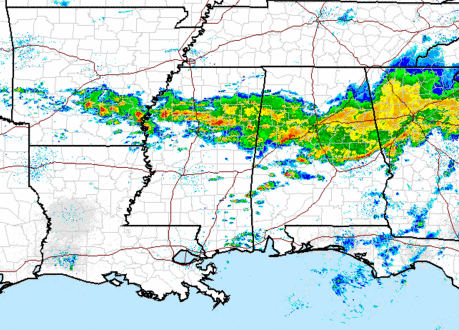
A stationary front continues to lie across central Alabama, and moist southerly winds are flowing up and over that front to produce very heavy rain and thunderstorms from SE Arkansas, across northern MS, central AL, and northern GA. Most parts of central Alabama have already received 1-2″ of rainfall. Here in Trussville, the total is 1.46″. Inge Tingle, a blog reader, reported minor street flooding in downtown BHM earlier. Here is a radar estimate of rainfall so far. It may be running a little low, based on rain gauges.
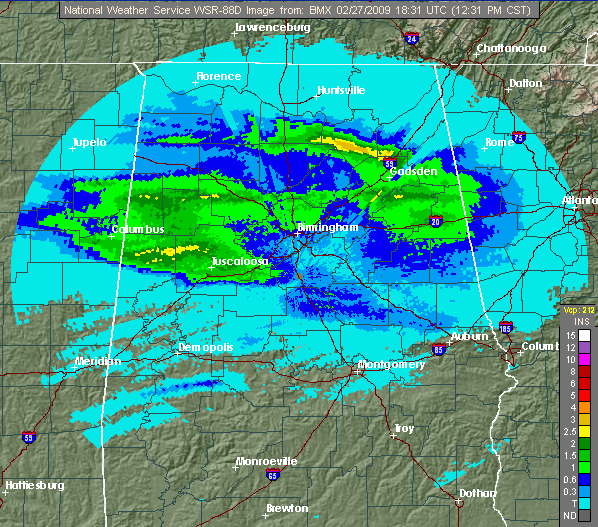
Another area of heavy rain is arriving in the BHM area now, and with heavy rain extending so far west, I am concerned about flash flooding this afternoon in central Alabama. Some places may get over 4″ of rain before this thing winds down late tonight or tomorrow morning.
The other threat is for isolated tornadic storms forming, mainly south of BHM. The sun has been out at times in south-central Alabama, with temperatures in the 70s. The wind shear is increased along and near the front, so storms may rotate this afternoon there, and parts of Alabama are under a tornado watch until 8 pm (see Bill’s post below).
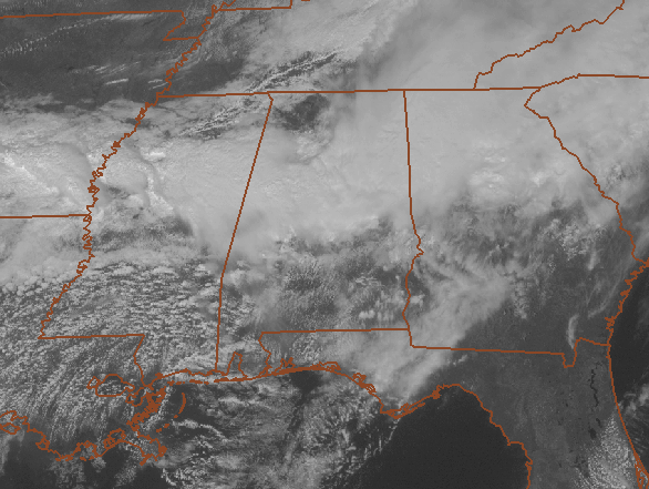
Everyone needs to keep an eye on the weather this afternoon and tonight. Also, if you have to drive, especially at rush hour, watch out for flooded roads. Don’t drive into areas where water covers the roadway! It may look shallow, but it could be deeper than it looks. Don’t chance drowning…just take a different route.



