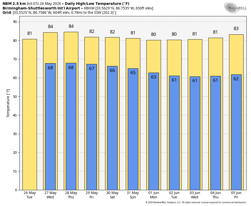
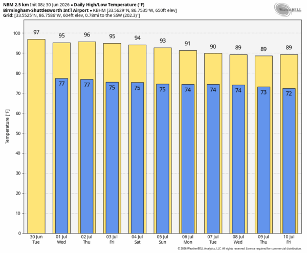
SUMMER HEAT: Afternoon highs will remain in the 90s across Alabama through the rest of the week, with triple digit heat index values during the afternoon hours. A “heat advisory” is in effect for the state.
During the peak of the heating each day, a few isolated storms are possible across the state. Some could be strong; SPC maintains a “marginal risk” (level 1/5) of severe thunderstorms for the southern 2/3 of Alabama today, for areas along and south of I-20.

Where storms do form this afternoon, they could produce strong winds in the hot, unstable environment, but most places won’t see a drop of rain.
HOLIDAY WEEKEND: The upper ridge responsible for the heat over the half of the nation will begin to weaken and shift westward. While the overall weather won’t change much, we should see a little increase in the number of scattered showers and storms during the afternoon and evening hours over the Fourth of July weekend. Chance of any one spot seeing a shower/storm both days is around 30 percent, and most of them will come from noon to midnight. Afternoon highs will be in the 90-95 degree range.
NEXT WEEK: Heat levels will continue to slowly fall; with afternoon highs in the upper 80s and low 90s most days. Scattered showers and storms will be active during the afternoon and evening hours… See the video briefing for maps, graphics, and more details.
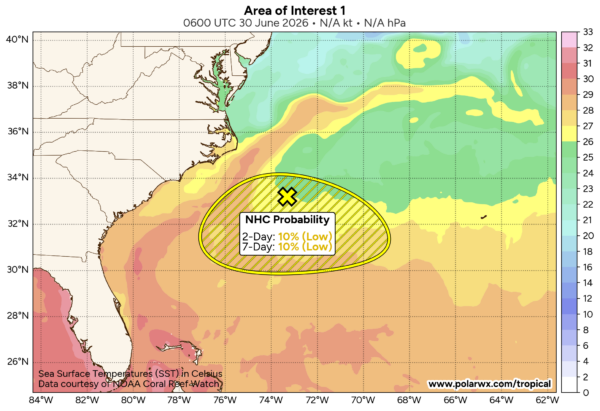
TROPICS: Shower and thunderstorm activity remains limited and disorganized in association with an area of low pressure along a frontal boundary located off the southeastern U.S. coast. Environmental conditions appear only marginally favorable for some tropical development over the next day or two as the system drifts southward and then westward before conditions become even less favorable later this week.
The chance of development is only 20 percent, and the Gulf will stay quiet for at least the next 7-10 days.
ON THIS DATE IN 1912: a violent tornado struck the city of Regina, Saskatchewan, becoming the deadliest tornadic event in Canadian history. The storm completely leveled a swath of residential neighborhoods, the central business district, and warehouse zones in just 20 minutes. It killed 28 people, injured 300, and left a quarter of the city’s population homeless.
ON THIS DATE IN 1931: The high in Birmingham was 104 degrees, which still stands as the record high for June 30.
Look for the next video briefing here by 4:00 this afternoon… enjoy the day!