


The 12z run of the GFS is out to 252 hours.
It predicts a slow northwesterly track into the Central Gulf 300 miles south of the NW Florida coast by Thursday morning. It then predicts a westerly track south of the Louisiana coast on Thursday, perhaps even a southwesterly track. A northwesterly turn commences on Friday in response to an upper trough swinging out of the west. This run takes it to a landfall on the Upper Texas coast south of Houston Saturday night and a turn to the north and northeast, taking the weakening low into the Midwest over Illinois by Monday morning.
The model consensus is pretty much in alignment with this solution…for now…and the official track pretty much follows it. ‘
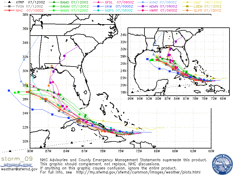
It is way too early to know where Ike will end up. It will be an interesting week in the weather office.



