


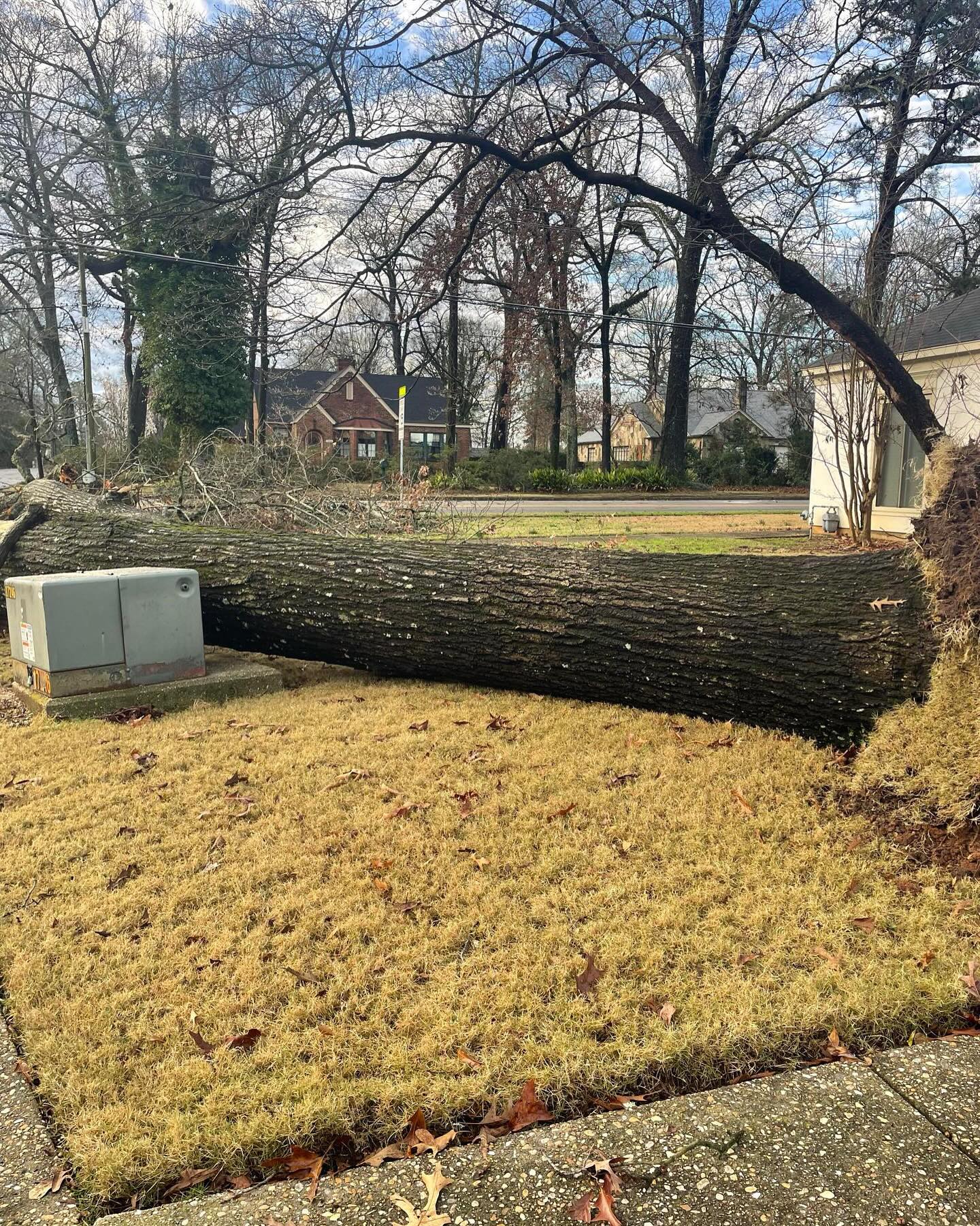
Damage near Montgomery from James Spann’s Facebook Page
The NWS has confirmed an EF1 tornado touched down in Tallapoosa County from the storms Sunday Morning.
Rating:                 EF1
Estimated Peak Wind:    90 mph
Path Length /statute/:  0.68 miles
Path Width /maximum/:   150 yards
Fatalities:             0
Injuries:               0

Start Date:             02/16/2025
Start Time:             02:42 AM CST
Start Location:         3 S Still Waters Resort / Tallapoosa County / AL
Start Lat/Lon:          32.6989 / -85.8351

End Date:               02/16/2025
End Time:               02:43 AM CST
End Location:           3 S Still Waters Resort / Tallapoosa County / AL
End Lat/Lon:            32.6974 / -85.8235

Survey Summary:
National Weather Service meteorologists surveyed damage in
southern Tallapoosa County and determined that a brief EF-
1 tornado occurred within an area of straight line wind damage.
Damage consisted of multiple snapped and uprooted trees along
Barnesville Loop just south of Highway 50. A TDS was also
observed on KMXX radar.


An additional tornado was also confirmed in Macon County.
Rating:                 EF1
Estimated Peak Wind:    110 mph
Path Length /statute/:  7.52 miles
Path Width /maximum/:   450 yards
Fatalities:             0
Injuries:               0

Start Date:             02/16/2025
Start Time:             02:47 AM CST
Start Location:         4 NNE Cecil / Macon County / AL
Start Lat/Lon:          32.3484 / -85.9745

End Date:               02/16/2025
End Time:               02:54 AM CST
End Location:           3 NE Cross Keys / Macon County / AL
End Lat/Lon:            32.3552 / -85.8473

Survey Summary:
National Weather Service meteorologists surveyed damage in Macon
County and determined that an EF-1 tornado occurred to the north
of straight line wind damage within a bowing segment. The tornado
began just east of the Macon/Montgomery county line, where a
couple pines were snapped along Barganier Road. It continued
moving eastward, reaching its peak intensity along County Road
2 and Keys Court where numerous hardwoods were snapped and
uprooted a couple hundred yards south of the road. Several homes
and outbuildings suffered roof damage as it paralleled County
Road 20, before the tornado dissipated as it crossed County Road
11.



