


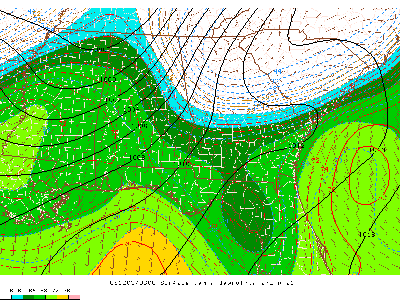
Tornado warnings continue in west Alabama…see below. The storm-relative helicity is 900 in central Alabama, about as high as it ever gets, meaning rotation will continue to be strong with storms as they move out of MS into AL. As mentioned, storms have been weakening as they move NE tonight and into cooler air, but the warm moist air is moving NE almost as fast as the storms, so the TCL storm may very well make it to BHM area, and the one behind it also, with more storms in MS. In addition, warm fronts provide additional vorticity for storms to tap into, causing more rotation.
A 48 mph wind gust was already reported at BHM airport with only a weak storm, so wind gusts up to 75 mph will occur, downing trees and powerlines tonight, even away from tornadoes.
If a tornado warning is issued for you, don’t waste time, as the storms are moving near 55 or 60 mph.



