


…Ike is approaching the north coast of Cuba…
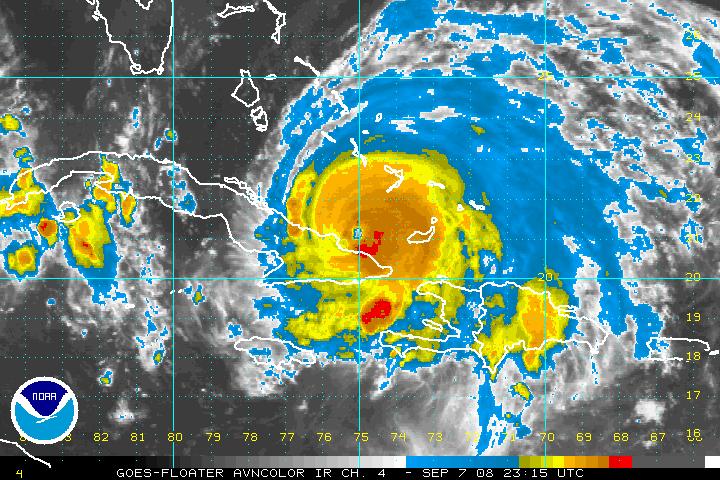
The well defined eye is beautifully depicted on the Holquin radar from Cuba…
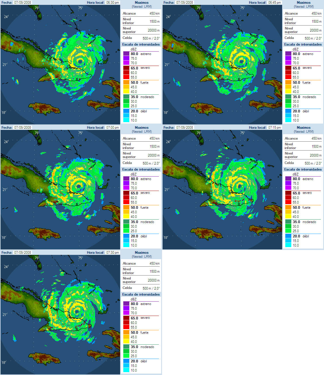
…No reports from Cuba or the Bahamas this hour
18Z MODEL RUNS
…GFS still consistent with earlier theory of a northwesterly track into the Gulf followed by a westerly jog toward Texas by Thursday and a northward turn on Friday that makes Ike move into the Upper Texas or Southwest Louisiana coast.
…HWRF takes a powerful Category Four hurricane on a line toward the Texas/Louisiana border next Saturday. The model actually intensifies it into a Category Five over the open Gulf.
…GFDL takes the hurricane to a landfall near Morgan City on Friday…in the Category Three range



