


Pretty easy forecasting this time of year, as temperatures are very similar each day, and there is nearly always a threat for rain. For today, temperature are heading towards the 90s this afternoon, and overall it is just a hot and humid Tuesday.
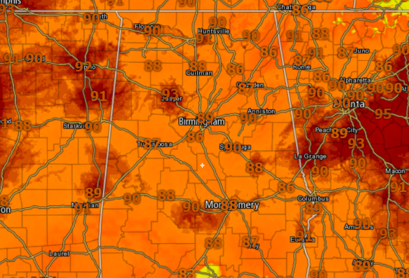
We are seeing plenty of sunshine this afternoon, but we are also seeing clouds on the increase as well.
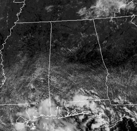
At the writing of this forecast, most of Central Alabama is dry, but we note several showers/storms across South Alabama. Through the afternoon and evening hours, we are going to see isolated to scattered showers/storms develop and move southeast to northwest across the state, due to the main area of high pressure to the east of us.
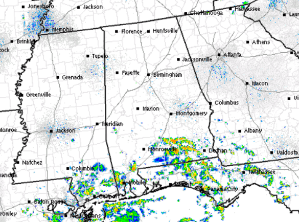
Much like Monday, nothing too widespread, but there will be a few storms that will produce a lot lightning and intense rainfall and then gradually wind down after daytime heating is loss.
REST OF WORK WEEK: The hot, humid summer weather continues with the daily round of isolated to perhaps scattered, mainly afternoon and evening showers and thunderstorms. Highs will be in the lower to mid 90s degree range each afternoon, while nights will be muggy, with lows in the 70s. To end the work week, the upper ridge weakens and will allow for some troughing over the Southeast. This will allow us to see a gradual increase in the coverage of scattered showers and storms each day, and heat levels a bit lower. Highs should be around the 90 degree mark and we may even see some spots remain in the upper 80s for highs.
AT THE BEACH: A standard summer forecast for the beaches of the Northern Gulf Coast from Dauphin Island east to Panama City. Plenty of sunshine each day, with passing scattered storms from time to time. Highs are in the upper 80s and lower 90s on the beaches, while just inland you can expect low to mid 90s. The sea water temperature early this afternoon at Perdido Pass at Orange Beach is 87.3 degrees. See the complete Gulf Coast 7 Day Planner here .
Have a terrific Tuesday!



