


We got back from the deployment to Hurricane Gustav between 2 and 4 am Tuesday. It was a good deployment, and we got a lot of good data from our site at Carr Field in Bogalusa, LA, about 25 miles north of Lake Ponchartrain. This included dual-Doppler radar data of the main spiral band as the storm came ashore (this gives you actual wind direction and speed, not just motion toward and away from radar). We also sampled a gravity wave out ahead of one of the early spiral bands…what a cool looking cloud, and a big jump down and then up in pressure. Other research on raindrop sizes, to help radars better estimate rainfall in these systems (they have trouble), and we sampled a mini-supercell on radar very near the airport.
3 of us took the instrumented car (temp, wind, etc.) south from Bogalusa into Slidell, then on to the shore of Lake Ponchartrain. When we got clear of protection from the wind by trees, especially on interstate overpasses, about 25 feet above the ground, we sampled winds around Slidell of 50-65 mph. We then drove down US highway 11 to the shore of Lake Ponchartrain, which had some storm surge, and was very salty from the Gulf coming in. After getting out of the car and feeling myself being pushed toward the Lake as I stood there, we went about 1/4 mile out on the Hwy. 11 bridge over Lake Ponchartrain, completely away from trees and over water. As we turned around, we saw a wind gust of 76 mph. Later, we drove down through one of the spiral bands along I-10 between New Orleans and Bay St. Louis, MS.
Interesting what happens on these field deployments, when you carry electronic equipment run off a generator, out in the wind and rain, and get sleep-deprived. I made the same mistake others made at Tropical Storm Fay, even though we discussed it before we left Alabama, and stood too close for my comfort to the MAX radar, maybe getting radiated a little bit. No hair has fallen out. Then, as the laptop that logs the 1-second data in the instrumented car starting having a battery failure, I tried to save the day and use the cigarette lighter adapter I borrowed from my father-in-law. As we’re driving down the interstate in near-tropical storm conditions, I realize that the adapter is smoking severely inside the car! For some reason, I didn’t throw it out immediately, but eventually I threw it out the window, and it became part of the debris on the side of the interstate.
A UAH crew is planning to leave tomorrow morning for Hanna…they’re going to Myrtle Beach, SC. I won’t be on this one, but if Ike heads to the area from Gulfport to Appalachicola, I may be on a deployment there next week.
Pictures from Gustav (times are in CST)
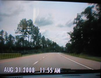
Lonely on I-59 south.
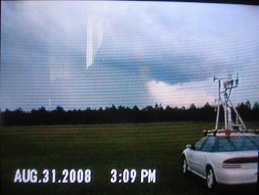
Shower approaching our airport location, with M3V instrumented vehicle in foreground.
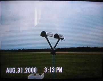
Disdrometer, measures number and size of raindrops.
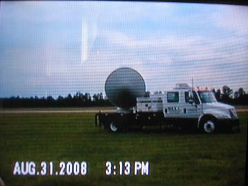
MAX radar.
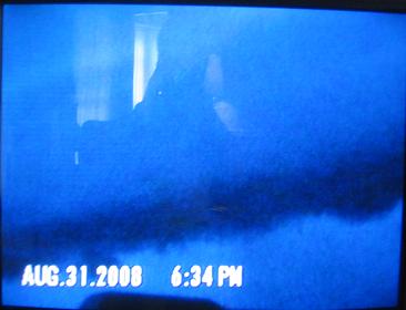
Solitary gravity wave passing over our airport site Sunday evening.
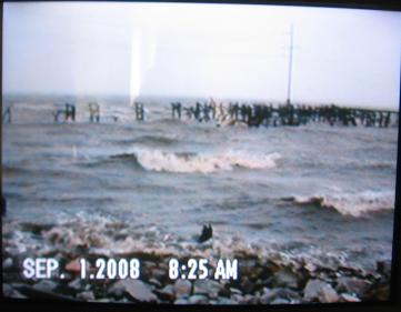
Lake Ponchartrain with hurricane center to our south, around landfall.
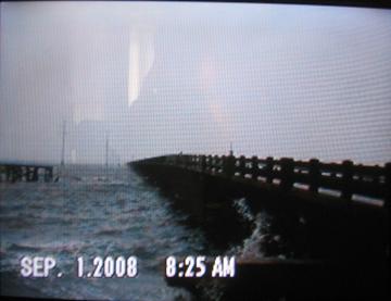
US Highway 11 bridge over Lake Ponchartrain.
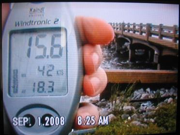
My handheld anemometer, indicating a peak gust to 42 knots (48 mph) on the lakeshore, slightly protected by trees.
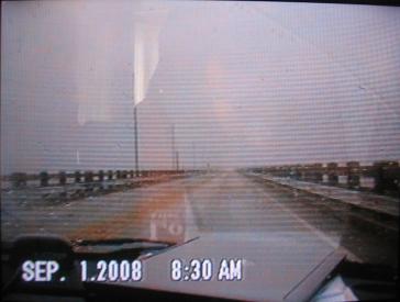
Driving onto bridge over Lake Ponchartrain during a hurricane. Wow.
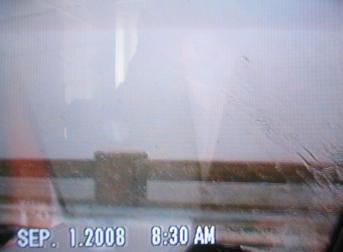
Time to turn around. We don’t want to get blown into the lake. Maximum wind gust of 76 mph observed around this time.



