


…THE SEVERE THUNDERSTORM WARNING FOR NORTHEASTERN SHELBY AND
SOUTHEASTERN JEFFERSON COUNTIES IS CANCELLED…
The storms which prompted the warning have weakened below severe
limits, and no longer pose an immediate threat to life or property.
Therefore the warning has been cancelled.
Severe Thunderstorm Warning Continues For Parts Of Jefferson And Shelby Counties Until 3:45PM
Mar 7th @ 2:47 pm
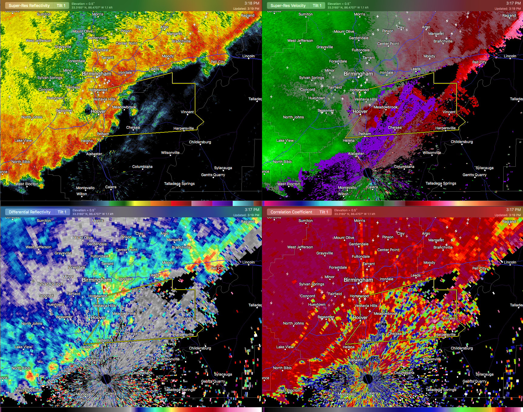
The main bowing segment of the line of thunderstorms is currently approaching Meadowbrook, Chelsea, and Alabaster, and continues to move east at 45 MPH. The bowing segment doesn’t look as strong as it did earlier, but wind gusts of 60 MPH are still possible, along with dangerous lightning.

…A SEVERE THUNDERSTORM WARNING REMAINS IN EFFECT UNTIL 345 PM CST FOR NORTHEASTERN SHELBY AND SOUTHEASTERN JEFFERSON COUNTIES… At 317 PM CST, severe thunderstorms were located along a line extending from Mountain Brook to Meadowbrook to Pelham, moving east at 45 mph.
HAZARD…60 mph wind gusts.
SOURCE…Radar indicated.
IMPACT…Expect damage to roofs, siding, and trees. Locations impacted include… Hoover, Vestavia Hills, Homewood, Pelham, Mountain Brook, Helena, Leeds, Chelsea, Indian Springs Village, Vincent, Harpersville, Westover, Oak Mountain State Park, Vandiver, Oak Mountain Amphitheater, Greystone, Samford University, Highland Lakes, Cahaba Heights and Riverchase.
Severe Thunderstorm Warning Continues For Parts Of Jefferson And Shelby Counties Until 3:45PM
Mar 7th @ 2:47 pm
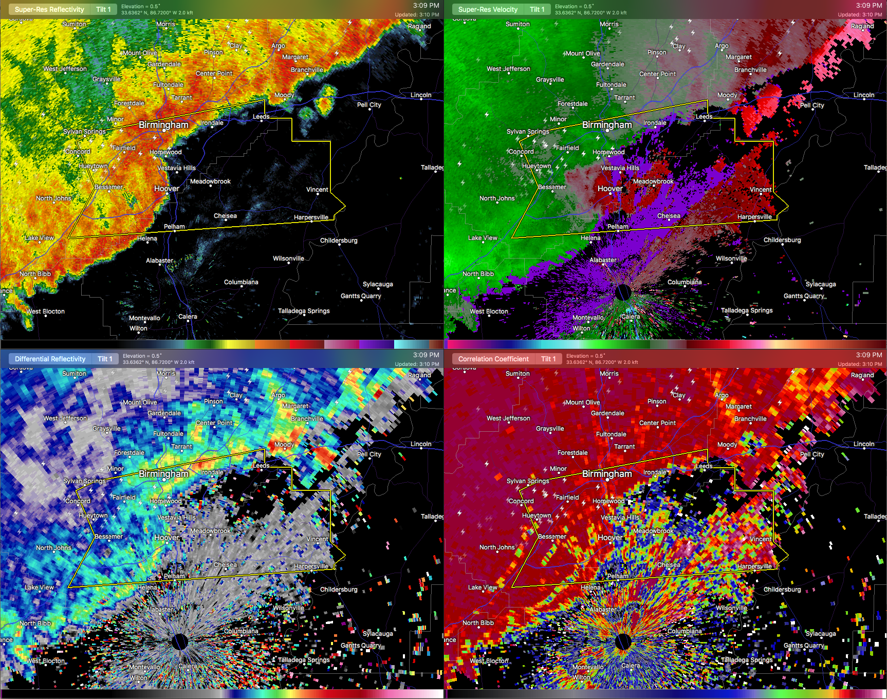

…A SEVERE THUNDERSTORM WARNING REMAINS IN EFFECT UNTIL 345 PM CST FOR NORTHERN SHELBY AND SOUTHEASTERN JEFFERSON COUNTIES… At 309 PM CST, severe thunderstorms were located along a line extending from Birmingham to Hoover to near Helena, moving east at 40 mph.
HAZARD…60 mph wind gusts.
SOURCE…Radar indicated.
IMPACT…Expect damage to roofs, siding, and trees. Locations impacted include… Southern Birmingham, Hoover, Vestavia Hills, Homewood, Pelham, Mountain Brook, Helena, Irondale, Leeds, Chelsea, Indian Springs Village, Vincent, Harpersville, Westover, Five Points South, Oak Mountain State Park, Vandiver, Bluff Park, Oak Mountain Amphitheater and U.A.B. Campus.
Severe Thunderstorm Warning Continues For Parts Of Jefferson And Shelby Counties Until 3:45PM
Mar 7th @ 2:47 pm
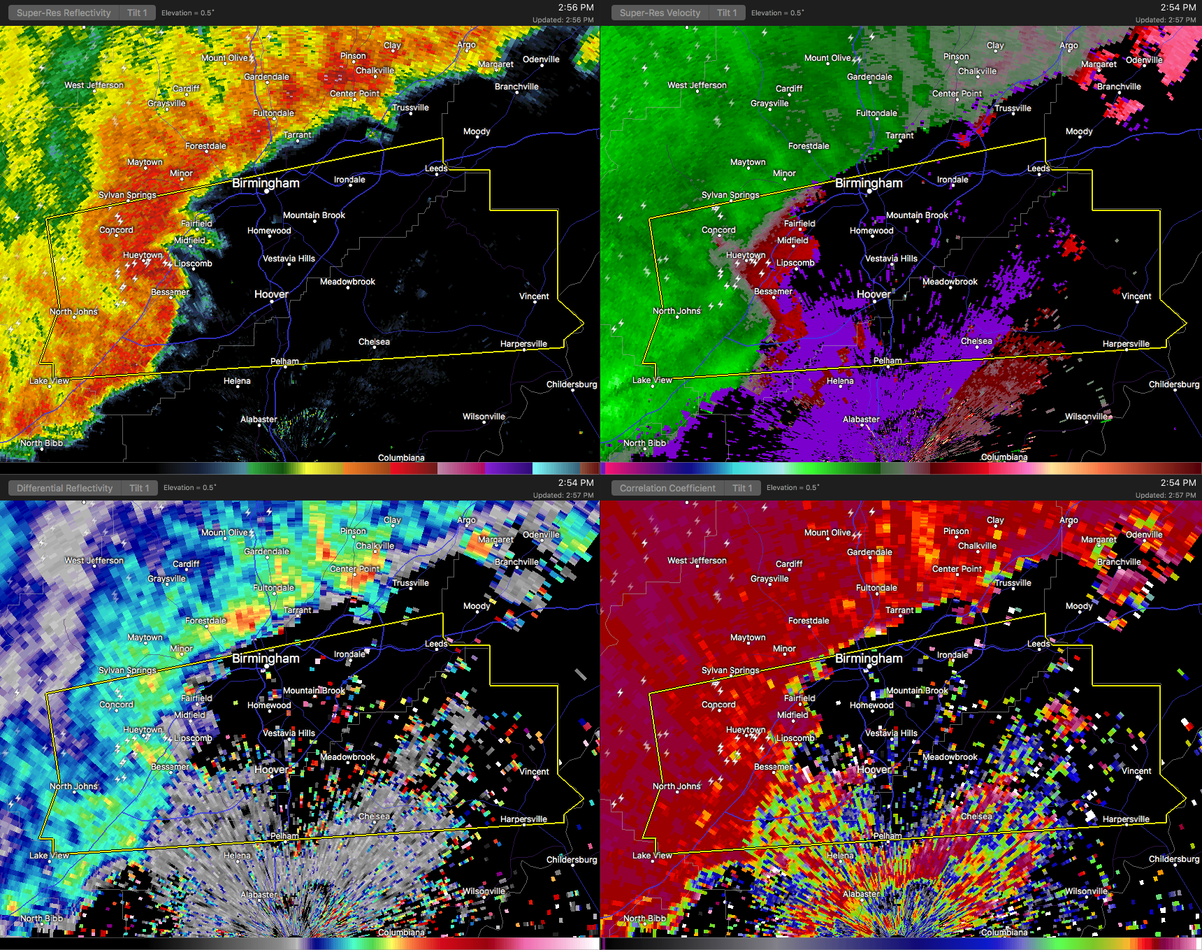
A bowing segment with possible damaging winds is currently moving into the communities of Bessemer,Concord, and Hueytown, with winds of 60 MPH possible. Plenty of dangerous lightning and maybe a small circulation forming around Concord. Please seek shelter immediately if you in the path.

…A SEVERE THUNDERSTORM WARNING REMAINS IN EFFECT UNTIL 345 PM CST FOR NORTHERN SHELBY AND SOUTHEASTERN JEFFERSON COUNTIES… At 258 PM CST, severe thunderstorms were located along a line extending from Pleasant Grove to Birmingham to near Bessemer, moving east at 45 mph.
HAZARD…60 mph wind gusts.
SOURCE…Radar indicated.
IMPACT…Expect damage to roofs, siding, and trees. Locations impacted include… Birmingham, Hoover, Vestavia Hills, Bessemer, Homewood, Pelham, Mountain Brook, Helena, Hueytown, Irondale, Leeds, Fairfield, Chelsea, Pleasant Grove, Midfield, Brighton, Indian Springs Village, Lipscomb, Vincent and Harpersville.
Severe Thunderstorm Warning Issued For Parts Of Jefferson And Shelby Counties Until 3:45PM
Mar 7th @ 2:47 pm

The National Weather Service in Birmingham has issued a
* Severe Thunderstorm Warning for…
Northern Shelby County in Alabama…
Southeastern Jefferson County in Alabama…
* Until 345 PM CST
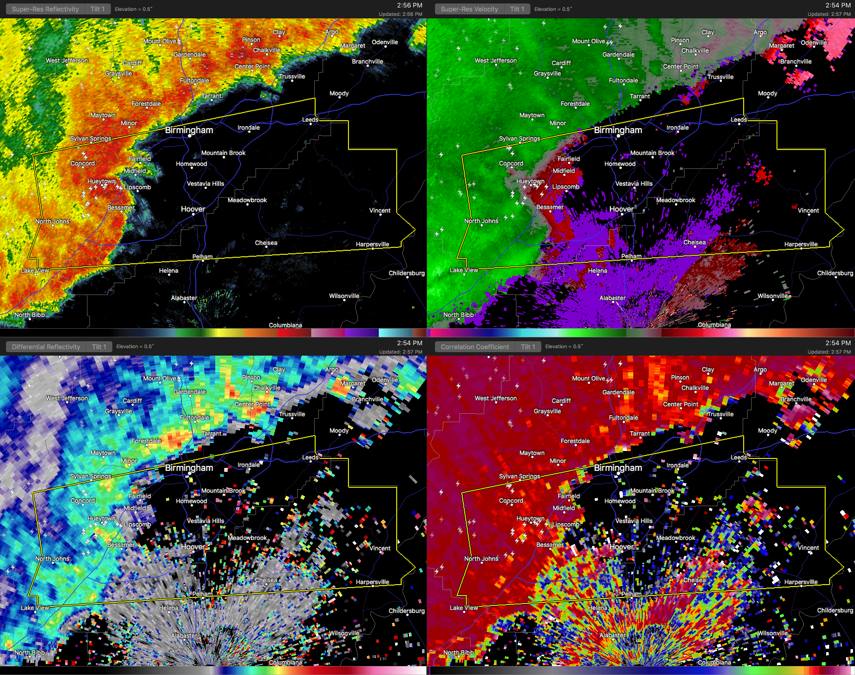
* At 246 PM CST, severe thunderstorms were located along a line extending from near Concord to near Splash Adventure to Lake View, moving east at 45 mph.
HAZARD…60 mph wind gusts.
SOURCE…Radar indicated.
IMPACT…Expect damage to roofs, siding, and trees.
* Locations impacted include…
Birmingham, Hoover, Vestavia Hills, Bessemer, Homewood, Pelham, Mountain Brook, Helena, Hueytown, Irondale, Leeds, Fairfield, Chelsea, Pleasant Grove, Midfield, Brighton, Indian Springs
Village, Lipscomb, Vincent and Lake View.



