


…THE SEVERE THUNDERSTORM WARNING FOR CENTRAL FRANKLIN AND WEST CENTRAL LAWRENCE COUNTIES IS CANCELLED… The storm which prompted the warning has weakened below severe limits, and no longer pose an immediate threat to life or property. Therefore, the warning has been cancelled. However small hail is still possible with this thunderstorm. A severe thunderstorm watch remains in effect until 900 PM CDT for north central and northwestern Alabama.
Severe Thunderstorm Warning Continues For Parts Of Franklin And Lawrence Counties Until 5:15PM
Mar 27th @ 4:26 pm

…A SEVERE THUNDERSTORM WARNING REMAINS IN EFFECT UNTIL 515 PM CDT FOR CENTRAL FRANKLIN AND WEST CENTRAL LAWRENCE COUNTIES… At 439 PM CDT, a severe thunderstorm was located 7 miles south of Belgreen, or 13 miles southwest of Russellville, moving east at 40 mph.
HAZARD…60 mph wind gusts and quarter size hail.
SOURCE…Radar indicated.
IMPACT…Hail damage to vehicles is expected. Expect wind damage to roofs, siding, and trees. Locations impacted include… Russellville, Phil Campbell, Belgreen, Vina, Hodges, Mt Hope, Atwood, Tharptown, Duketon and Rockwood.
Severe Thunderstorm Warning Issued For Parts Of Franklin And Lawrence Counties Until 5:15PM
Mar 27th @ 4:26 pm
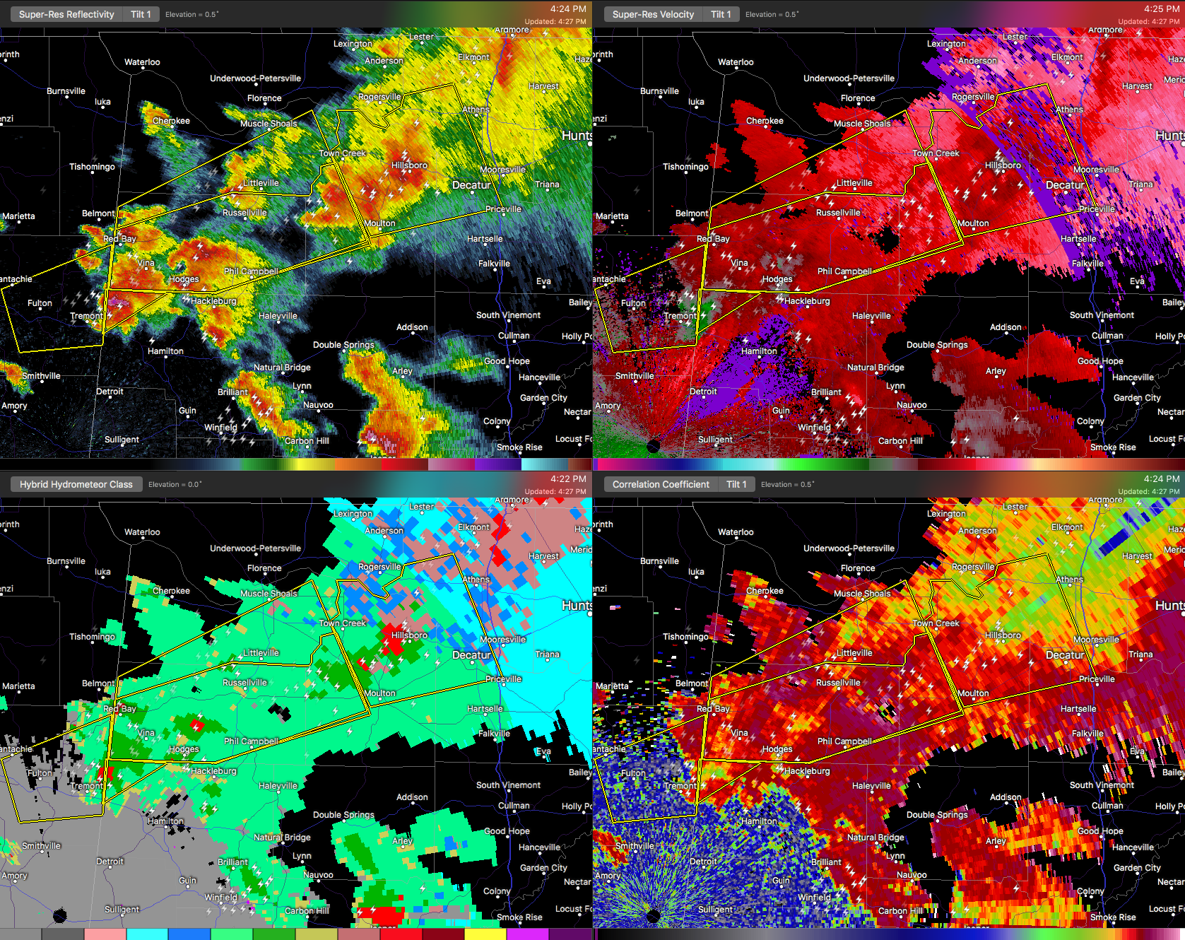

The National Weather Service in Huntsville Alabama has issued a
* Severe Thunderstorm Warning for…
Franklin County in northwestern Alabama…
Southwestern Lawrence County in northwestern Alabama…
* Until 515 PM CDT
* At 424 PM CDT, a severe thunderstorm was located 7 miles southeast of Red Bay, moving east at 45 mph. Additional strong to severe thunderstorms were located from near Belgreen to Mt. Hope.
HAZARD…60 mph wind gusts and quarter size hail.
SOURCE…Radar indicated.
IMPACT…Hail damage to vehicles is expected. Expect wind damage to roofs, siding, and trees.
* Locations impacted include…
Russellville, Red Bay, Phil Campbell, Littleville, Belgreen, Vina, Hodges, Mt Hope, Atwood and Tharptown.



