


It’s a balmy and increasingly muggy Christmas Eve across Central Alabama. Temperatures are in the 60-66F range generally. Tuscaloosa had jumped up to 69F. 60F dew points are edging into western sections of the state from Mississippi.
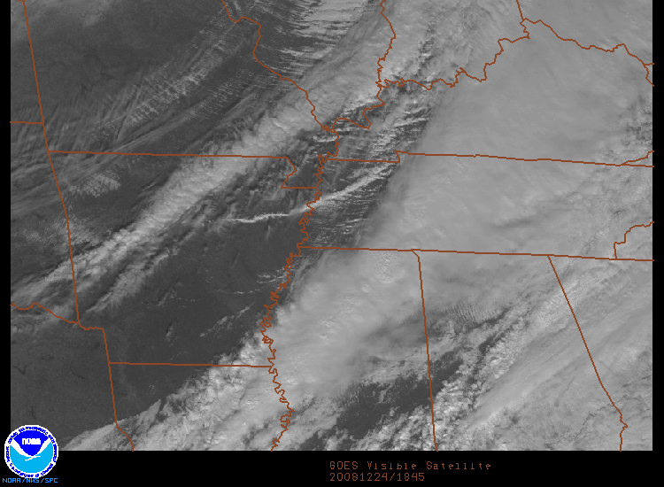
Some clearing had worked into West Central Alabama. Sunshine was being reported at Meridian and Columbus. Meridian was at 73F.
Instability was highest over South Mississippi, but still only about 500 j/jg. Some of this instability will work into the state, especially in any areas that are getting some working on dew points in the lower 60s.
Winds aloft are strong, but relaxing with time and the support for the system lifts out to the northeast.
A line of showers had developed across the middle of the state from Cherokee County through Talladega, Shelby into Chilton Perry and Dallas Counties. The showers were heavier the further south you go. Other moderate showers were occurring from Hale and Sumter into Choctaw Counties.
The main line of showers and storms was within two counties of Northwest Alabama. It is ahead of a cold front that will be moving through overnight. Expect about one half inch of rain.
There still is an outside threat of severe weather, with the main threat being damaging winds with storms in the line tonight. Instability levels should be dropping by late in the afternoon and the dynamics should be departing quiclky, so hopefully, any severe weather potential will wane with time.



