


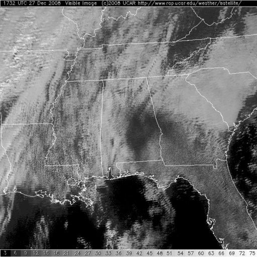
As you can see from this visible satellite photo (or by looking out the window,) sunshine is breaking out as expected across much of the area this afternoon. This will drive temperatures to near or above record levels across the area.
Noon temperatures…
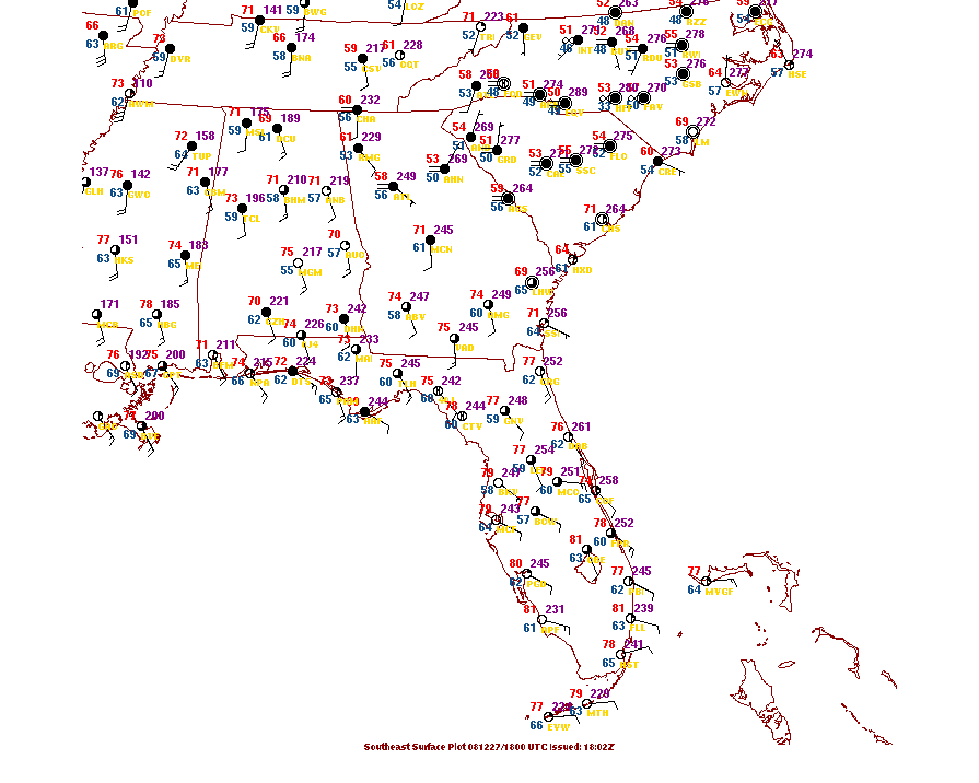
Some of the record highs for December 27th across Central Alabama include: 74F at Birmingham, 78F at Tuscaloosa, 75F at Anniston, 74F at Gadsden, 76F at Pinson, 75F at Talladega, 75F at Clanton, 71F at Hamilton and 75F at Jasper. Many of those will be tied or broken today.
SEVERE WEATHER POTENTIAL
With all the warm and muggy conditions, one would expect there to be a severe weather threat with a cold front and storm system approaching. The front will arrive in Northwest Alabama late tonight, and push slowly across the area through the morning hours on Sunday. The good news is that the front will be weakening as its upper support and surface low lift out to the northeast.
A line of storms will push across the area overnight. There will be a threat of severe weather along the leading edge of the Quasi-linear Convective System (translation=line of storms.) It will be worth monitoring and I do think we will see warnings overnight for some areas. While widespread severe weather is not in the cards, it will be important to keep a reliable source of weather information handy that will wake you if necessary. And we will be watching the weather through the night with you.



