


Our low pressure center is about 175 miles southeast of the Mississippi Coast tonight.
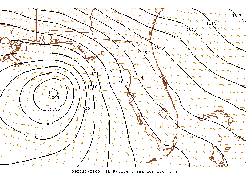
It has a minimum pressure of about 1005 mb. Not terribly low. But thunderstorm activity associated with the system is exploding and it may be in the process of becoming a tropical depression.
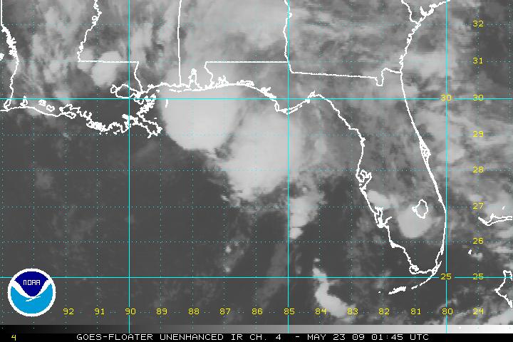
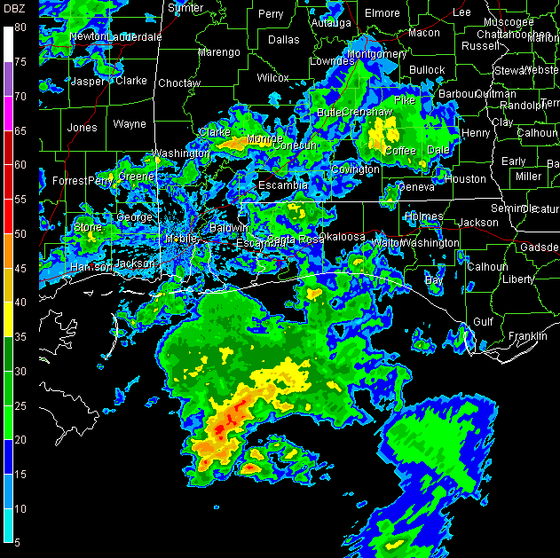
It should be near the Mississippi Coast by morning. As you can see from this radar image from Mobile, heavy rain and thunderstorms will be moving onshore overnight from Northwest Florida to Southeast Louisiana.
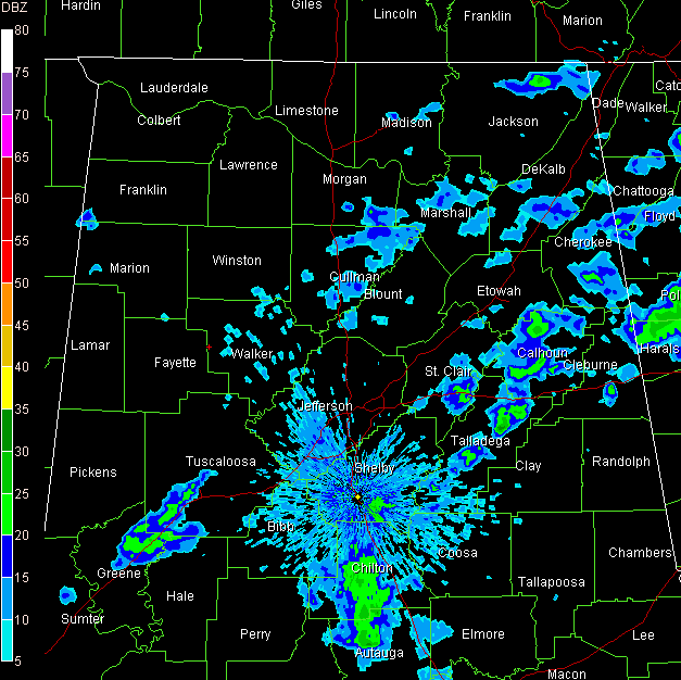
Across Central Alabama…showers have been on the increase. This trend should continue overnight.
Temperatures are in the upper 60s and lower 70s. Look for lows mainly in the middle and upper 60s overnight.
Rain will be a good bet tomorrow as the low moves inland.
SHUTTLE LANDING: The crew of the Space Shuttle Atlantis got an extra day in space thanks to the disturbance in the Gulf of Mexico. Good weather is not a give Saturday morning for the first landing opportunity at the Kennedy Space Center at 8:16 a.m. CDT, but it should be much improved over today. The alternate landing site is Edwards AFB in California. Weather there should be clear, but there will be strong winds. The shuttle has enough provisions to stay aloft until Monday. But let’s get it home tomorrow. After having watched a launch live from Cocoa Beach in March, every shuttle mission is personal for me.



