By Johnny Parker
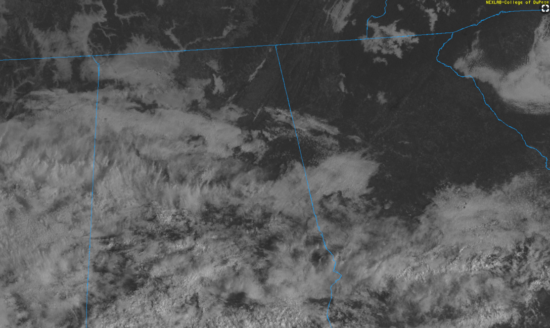
It is a bit on the cool side this morning with temperatures in the mid-40s to upper 50s across central Alabama. Today will be mostly dry, though a few afternoon pop-up showers are possible across the southern part of the state.
For your Tuesday, it will be mild but very wet. Total rainfall amounts on the order of 1 to 3 inches are expected with locally higher amounts possible. While this rainfall will be highly beneficial, the amounts could lead to perhaps some localized flash flooding. Precipitable water values will be near 2.3 inches, but widespread flooding is not expected. While a severe weather threat is not anticipated, there could still be a few stronger storms. Damaging winds would be the primary threat.
For your Wednesday through Friday, tranquil conditions as well as sunshine return. Temperatures will be in the upper 60s to low 70s for highs with lows in the mid-40s to low 50s. While a few showers will be possible early Wednesday morning, the bulk of the day will be dry as the frontal system from Tuesday departs.
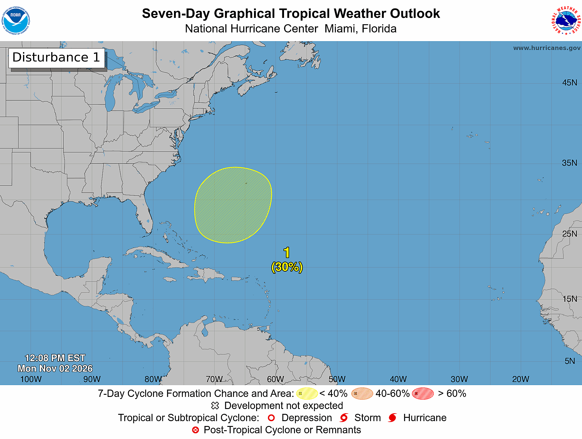
Tropical Outlook
Tropical Storm Melissa is dissipating late this morning. With the exception of a tropical disturbance in the Southwest Caribbean and another tropical disturbance in the far eastern Atlantic, there are no land threats.