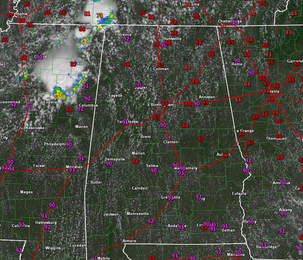
Much drier air is in place across Central Alabama this afternoon with partly cloudy skies and warm temperatures.
A cold front lies near the northwest corner of the state. Scattered showers and storms are located along the front over Northeast Mississippi and southern Tennessee.
The storms will run into increasingly drier air the further south they go, and they may have a hard time making it past I-59 later this afternoon. But before then, a couple of them could be strong with gusty winds, lightning, and brief heavy rain.
Drier air will filter in behind the front, and while daytime highs will be near normal around 90F all week, some places over the northern half of the state will see morning lows in the middle and upper 60s.
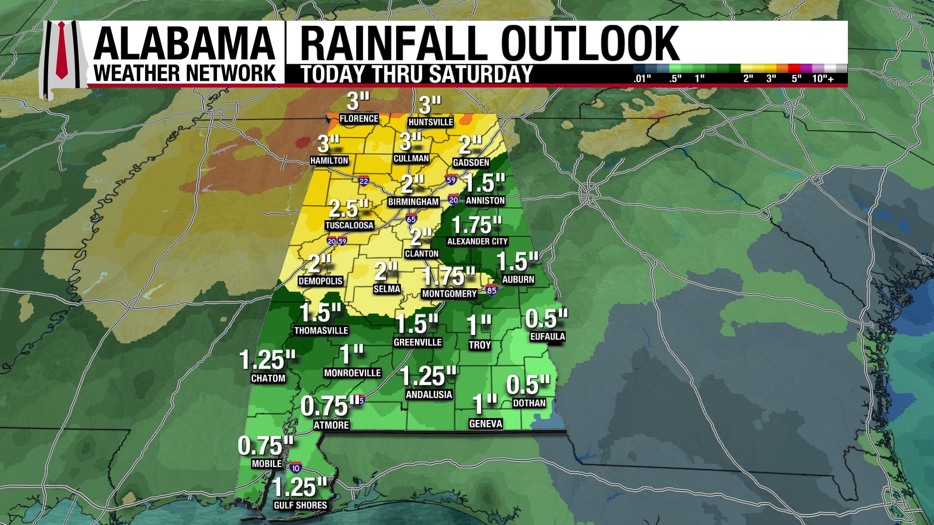
Showers and storms will be few and far between tomorrow and fairly scarce thee rest of the week as well.