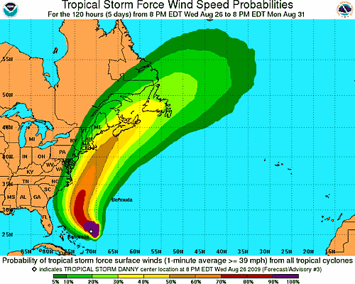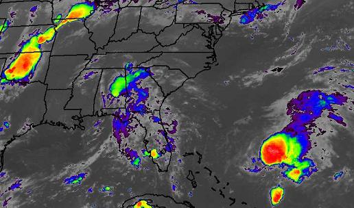
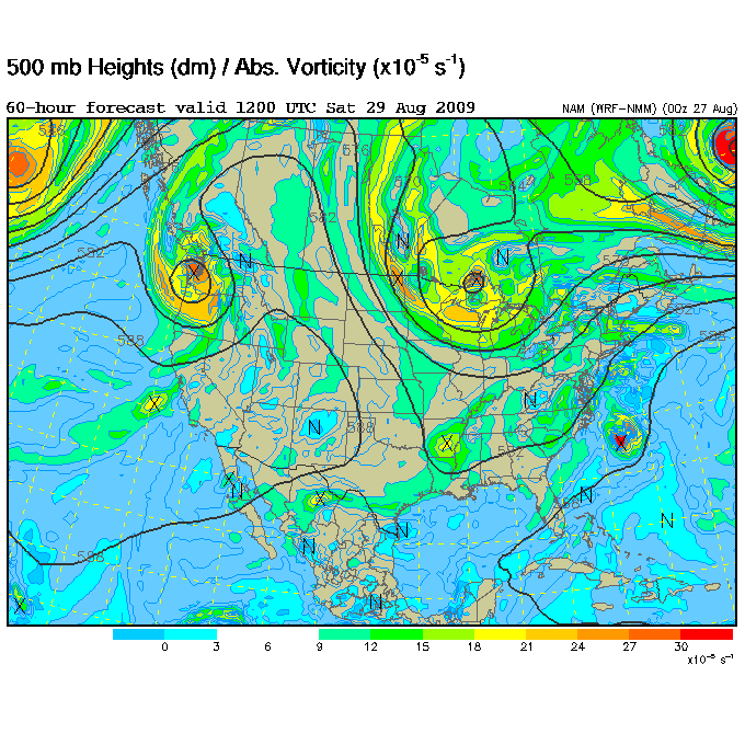
Danny remains large and disorganized early this morning, but has strengthened a little, with a new low pressure area possibly forming near the most thunderstorms. Hurricane hunter aircraft found winds of 50 mph. Computer models indicate that Danny will strengthen some over the next 3 days. However, the persistent eastern trough/western ridge pattern should help force Danny on a N then NE track, away from the Gulf, like Bill (this pattern will amplify further next week, bringing us another shot of cool air, maybe lows in the mid 50s as far south as Montgomery).
The potential problem is, this storm may be a little further west, and the official NHC track shows the storm less than 50 miles off Cape Cod, Massachusetts by Saturday evening, as a Category 1 hurricane. On the forecast track (which may be off), the hurricane will parallel the US coast, mainly 200-300 miles offshore, from North Carolina past Virginia, Maryland, Delaware, New Yersey, and New York Friday night and Saturday. The east coast is likely to see high winds and large waves. Hopefully, the track won’t be adjusted westward, possibly bringing a hurricane into areas not used to preparing for them like Atlantic City, Long Island, Boston, or Augusta, Maine. It will have to be watched closely the next 2 or 3 days.