


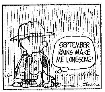
I have to disagree with Snoopy here…I love September rains. Hope they didn’t spoil too many Labor Day weekend celebrations though.
Many folks, including yours truly, were surprised to wake up to an active radar, or the sound of thunder on this Saturday morning.
Rainfall amounts have been fairly generous in spots across eastern Tuscaloosa, western Jefferson, northern Bibb into southern Blount and Cullman Counties. Just before 10 a.m., John Talbot in Hueytown has over 1.25 inches and Richard Viola in Pleasant Grove was nearly there. Persistent rainstorms over northern Jefferson County left over two inches at Terry Sasser’s place up in Mount Olive.
More moderate to occasionally heavy rain was poised to move into western Jefferson County…so the NWS Birmingham has issued an Urban and Small Stream Advisory for Jefferson County.
From their message: EXCESSIVE RUNOFF FROM HEAVY RAINFALL WILL CAUSE ELEVATED LEVELS ON
SMALL CREEKS AND STREAMS…AND PONDING OF WATER IN URBAN
AREAS…HIGHWAYS…STREETS AND UNDERPASSES AS WELL AS OTHER POOR
DRAINAGE AREAS AND LOW LYING SPOTS.
The rain and thunder was being caused by a disturbance in the southwesterly flow aloft.
Although rainfall totals in August were good in most spots, short term amounts have been sparse over much of Central Alabama. So the western and northern Jefferson County rainfalls were welcome for lawns and gardens.
The atmosphere has really moistened up over the past couple of days, and that means more showers and storms, especially with the heating of the day or with the approach of any additional disturbances.
The rain area will move northeastward out of Central Alabama by early afternoon. Sinking air behind the disturbance may keep us mostly rain free this afternoon, although that isn’t a guarantee with a little heating.
Left over low clouds will hold temperatures back to around 80. A few spots may not get out of the 70s. Look for a passing shower overnight with a low in the 60s.



