


Here is a water vapor look at Ida this morning…
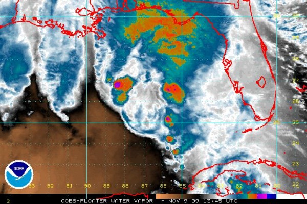
It certainly doesn’t resemble a classic tropical cyclone. Dry air is getting involved in the circulation; the system is moving over increasingly cool water, and harsh upper air winds are also involved, as expected.
Top sustained winds have dropped to 70 mph, and additional weakening is likely in coming hours. This will be a breezy and wet system for the Gulf Coast states. Scroll down for the complete discussion and Weather Xtreme video…



