


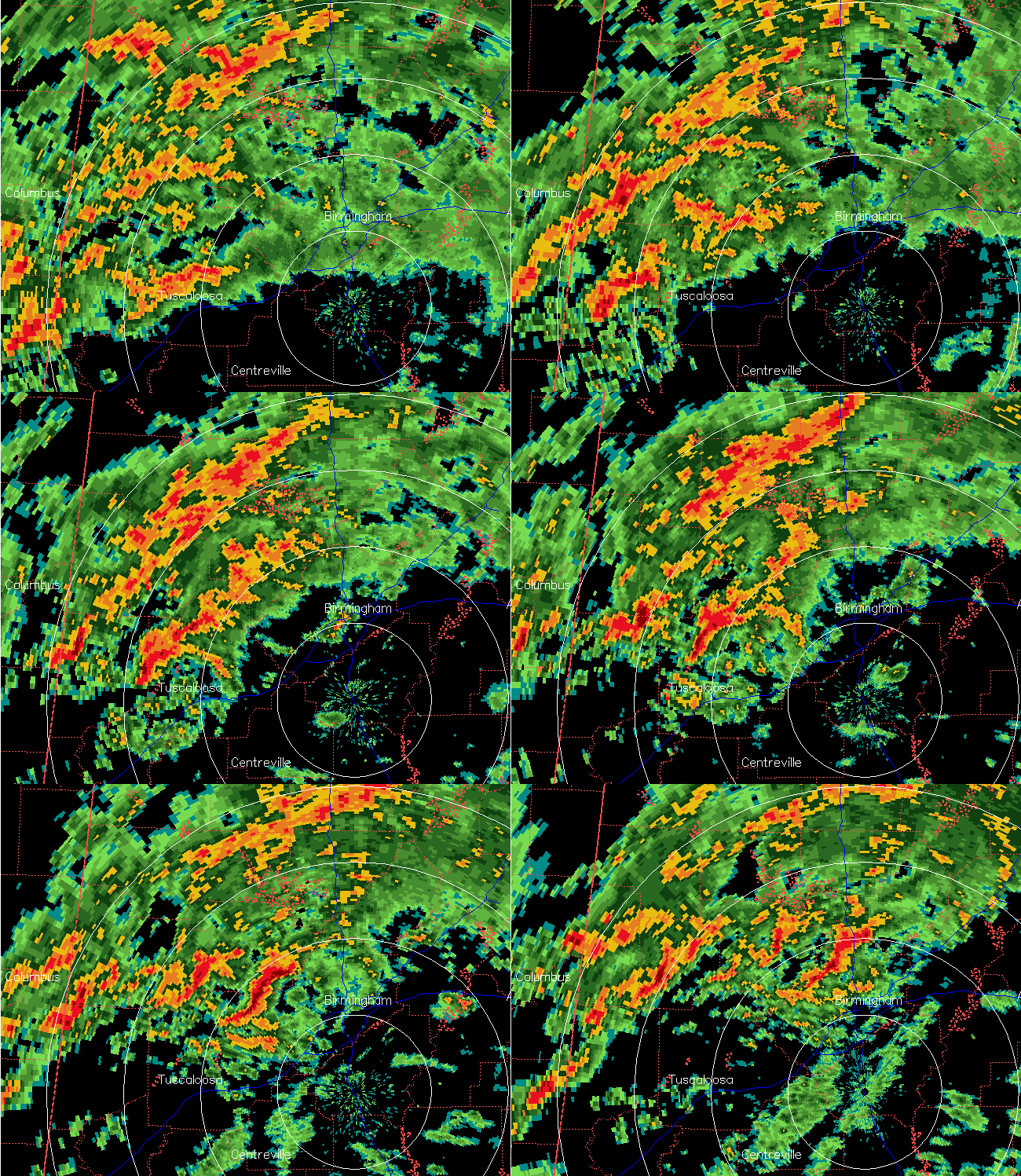
The storms that may have produced a tornado over Tuscaloosa County earlier have weakened somewhat in the slightly more stable air over Jefferson and Walker Counties, but with high wind shear we will still have to watch out for isolated tornadoes tonight.
High winds and possible flooding may be the biggest threats. Winds at 4,000 feet are blowing 80 mph, and thunderstorm downdrafts and gravity waves are bringing those winds down to the surface. The gravity waves are the bands of reflectivity on radar, moving northeast near 100 mph.
Some recent wind gusts: BHM airport 46 mph, TCL airport 41 mph, Trussville 48 mph, downtown BHM atop buildings 60 mph, Mt. Cheaha 53 mph, Clanton 45 mph. Some of these winds are associated with the gravity waves, others with thunderstorms. In any event, trees and power lines will come down, so stay indoors. Do not venture out, as trees can fall on your car.



