


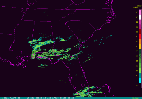
You can see some echoes on the radar this evening over Central Alabama, but most of this is not reaching the ground:
The wet bulb freezing line remains to the south of us:
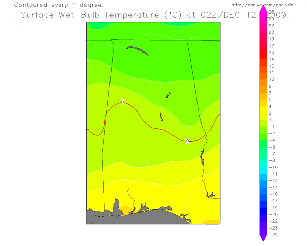
So, potential still exists for temperatures to lower to the freezing mark, or maybe down to near 30 degrees, at the onset of the precipitation tomorrow morning. And, like we have discussed in recent days, this could lead to a brief period of sleet, followed by freezing rain. Accordingly, some bridge icing is possible over the northern half of Alabama tomorrow morning. The 00Z model runs keep the trend of bringing in the most significant precipitation late tomorrow morning, so hopefully temperatures will be above freezing by then.
But again, if you are driving tomorrow be very careful on bridges and understand some icy spots are possible. The problems will be short lived, thankfully, and a simple, cold rain will fall tomorrow afternoon and tomorrow night.
We will be watching the situation and have updates here as things unfold…



