


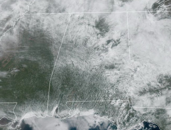
Another very warm day with breezy conditions as temperatures again are surging into the mid and upper 80s across the state, well-above average for this time of year. We have a mix of sun and clouds and a few showers are possible later today, mainly west of Interstate 65, but most locations will remain dry. To our west we are watching severe weather from the Great Lakes to Texas as those storms will push into Alabama later tonight.
STORMS TONIGHT: A band of showers and storms will drift into Northwest Alabama tonight, where the SPC maintains a “slight risk” (level 2/5) of severe thunderstorms around the Shoals. A “marginal risk” (level 1/5) is as far east as Guntersville, Hanceville, and Aliceville.
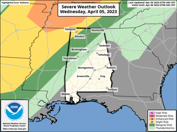
The main threat will come from strong, gusty winds tonight across Northwest Alabama; the tornado threat is very low as the main dynamic support will be passing well to the north.
OCCASIONAL RAIN: The front loses its southward momentum and will slowly sag south through the state the next couple of days. Tomorrow and Friday will feature occasional rain with some rumbles of thunder, but no severe storms are expected. Highs drop into the 70s tomorrow for the northern half of the state, followed by upper 60s Friday. South of the front, across South Alabama, highs will remain in the 80s both days.
EASTER WEEKEND: Saturday will be a cool, wet day with periods of rain; highs will be in the upper 50s to lower 60s across North/Central Alabama; the southern counties will be closer to 70°. The sky will finally clear Saturday night, and Easter Sunday looks dry and pleasant with a high around 70° along with ample sunshine.
NEXT WEEK: An upper ridge will build across the Gulf Coast States, meaning very warm and mainly dry conditions due to the suppression of the ridge. Highs will be in the 70s Monday and Tuesday, followed by 80s Wednesday through Friday.
BEACH FORECAST CENTER: Get the latest weather and rip current forecasts for the beaches from Fort Morgan to Panama City on our Beach Forecast Center page. There, you can select the forecast of the region that you are interested in visiting.
WORLD TEMPERATURE EXTREMES: Over the last 24 hours, the highest observation outside the U.S. was 112.1F at Matam, Senegal. The lowest observation was -71.3F Dome A, Antarctica.
CONTIGUOUS TEMPERATURE EXTREMES: Over the last 24 hours, the highest observation was 102F at Faith Ranch, TX. The lowest observation was -13F at Lake Yellowstone, WY.



