


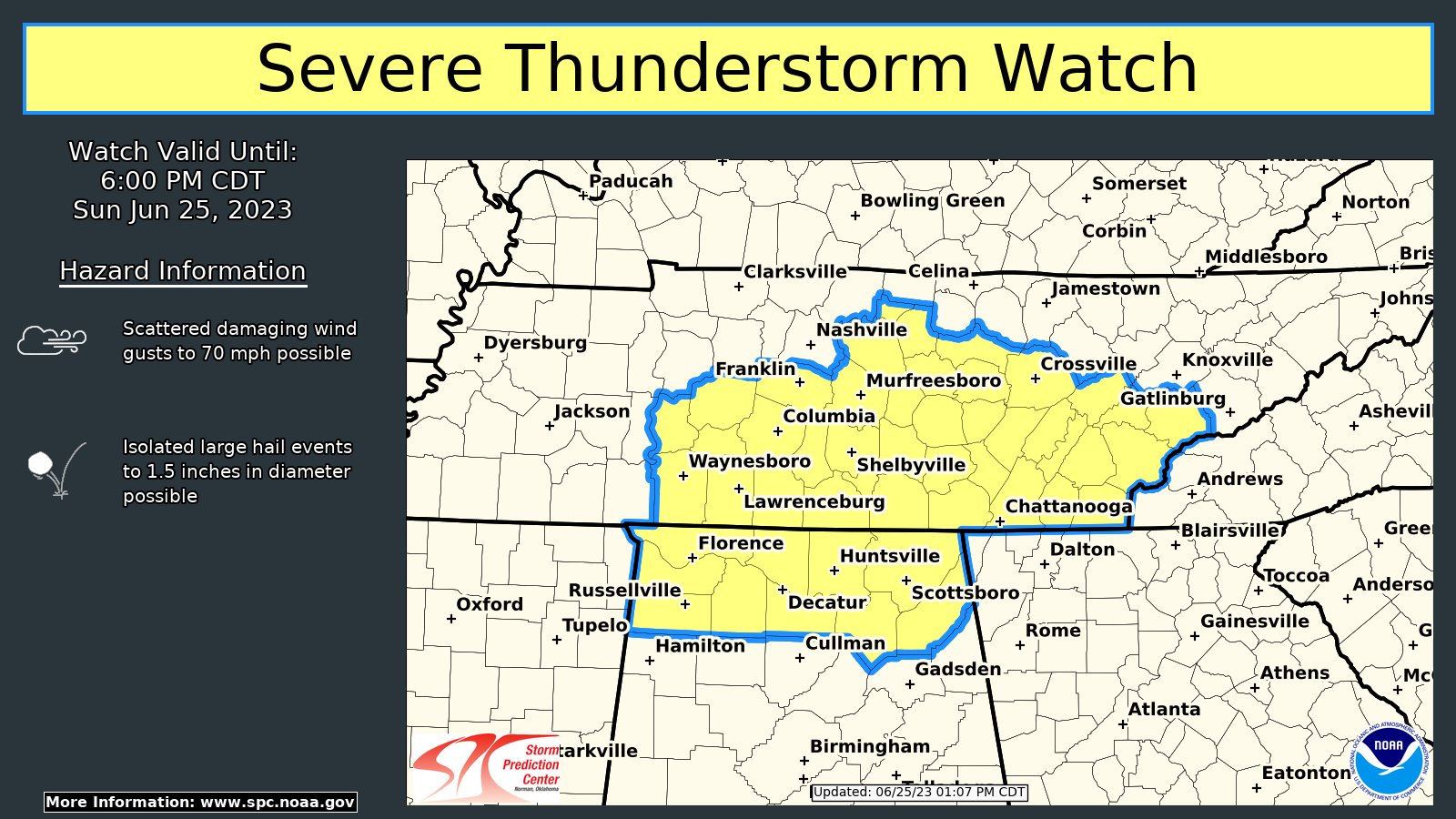
The threat for severe weather is increasing over North and Central Alabama at this time.
Alabama Counties included are: Colbert, DeKalb, Franklin, Jackson, Lauderdale, Lawrence, Limestone, Madison, Marshall, Morgan [AL] and Franklin, Lincoln, Moore [TN] till 6:00 PM CDT
From the SPC:
Convective initiation is underway across portions of
southern TN into northern AL as convective temperatures (i.e. lower
90s F) are being reached. Surface temperatures in the lower to mid
70s F are supporting 2000-3000 J/kg MLCAPE. This buoyancy which may
foster relatively robust, initial updrafts that develop, either in
the free warm sector, or with a south-southwestward propagating cold
pool (in middle TN) in association with an approaching MCS. Given
the lack of stronger shear and upper support, the evolution of
severe potential remains somewhat uncertain. However, overall
thinking is that damaging gusts may accompany the southward-moving
MCS, with damaging gusts and perhaps an instance or two of large
hail accompanying the more isolated storms ahead of the MCS outflow.
Convective trends are being monitored for the need of a Severe
Thunderstorm Watch in the next few hours.



