


This polygon:
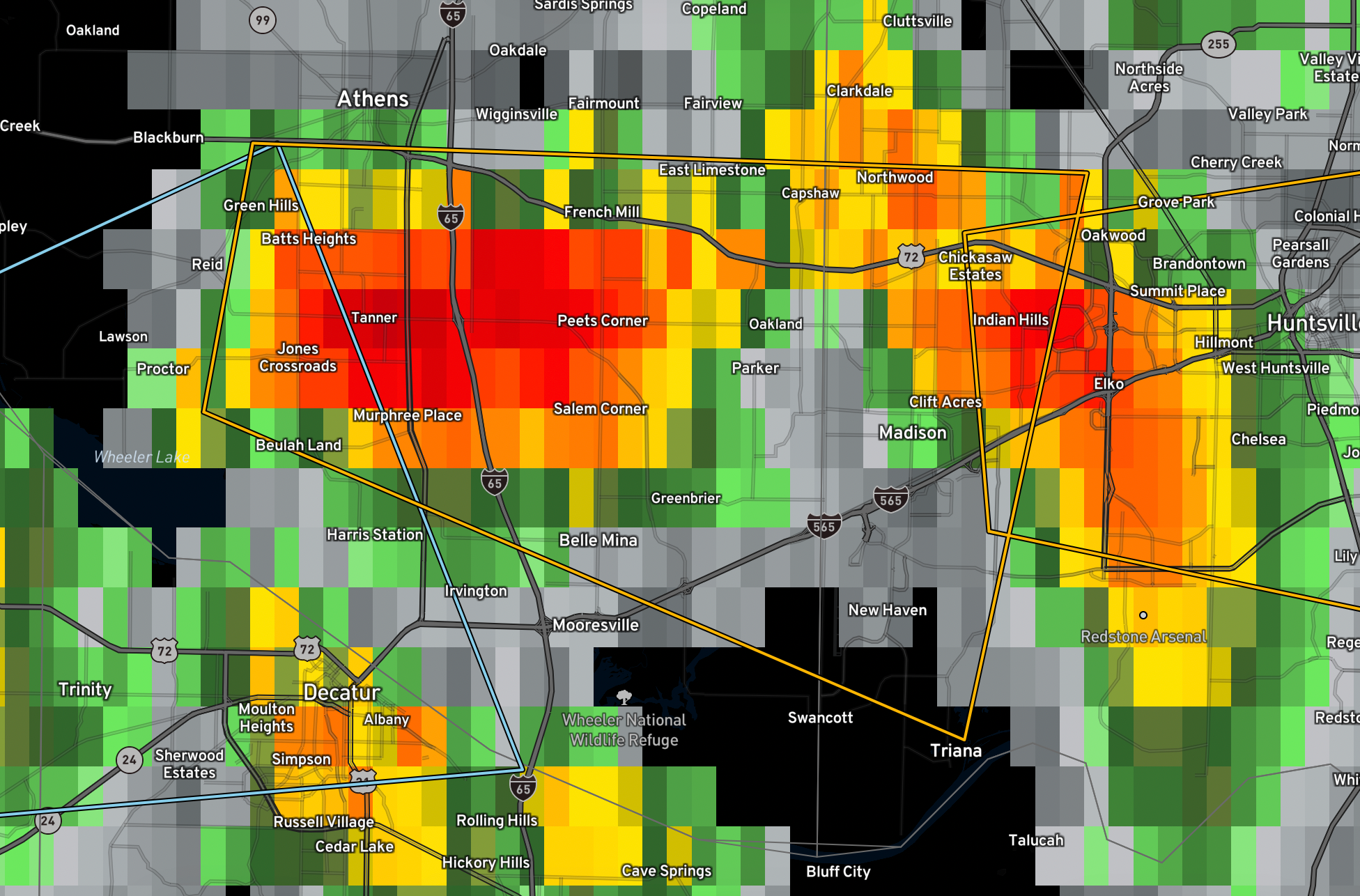
1″ hail and 60 mph wind gusts are possible with this storm…
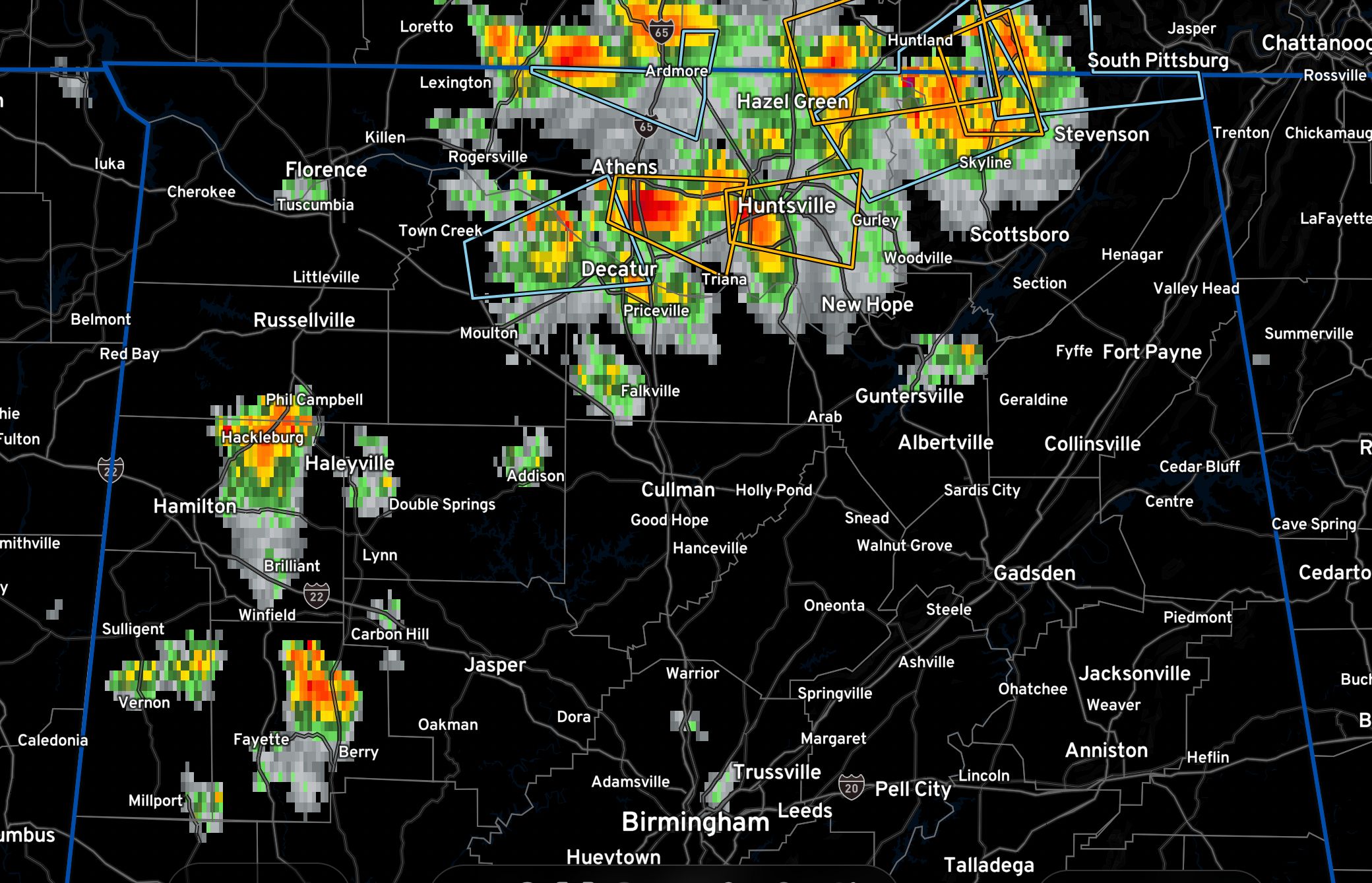
Here is the overall North Alabama situation:
The National Weather Service in Huntsville Alabama has issued a
* Severe Thunderstorm Warning for…
West central Madison County in north central Alabama…
Southeastern Limestone County in north central Alabama…
* Until 230 PM CDT.
* At 153 PM CDT, a severe thunderstorm was located near Tanner, or
near Athens, moving east at 20 mph.
HAZARD…60 mph wind gusts and quarter size hail.
SOURCE…Radar indicated.
IMPACT…Hail damage to vehicles is expected. Expect wind damage
to roofs, siding, and trees.
* Locations impacted include…
Western Huntsville, Madison, Athens, Triana, Huntsville
International Airport, Tanner, Belle Mina, French Mill and Capshaw.



