


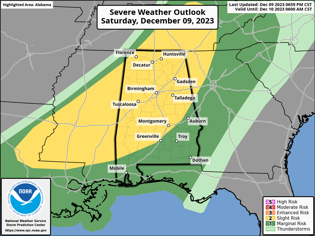
While the good news is that the Enhanced Risk has been allowed to be dropped, the Slight Risk has been expanded east and south to a line from Roanoke to Shorter to Fort Deposit. While this is now turning into more of a linear event, which means that this is transitioning into more of a severe wind gust threat, but a few brief spin-up QLCS tornadoes will be possible with the amount of shear we have in place.
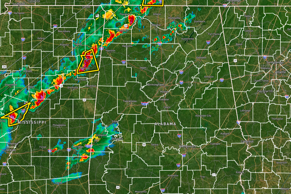
Current radar shows that the line of storms have weakened a little with the scariest storm approaching Northern Lamar County and Western Marion County that is showing some signs of rotation. For now, a severe thunderstorm warning is in effect for that storm. Other than that, there are only two other warnings back to the west in west-central Mississippi and northeastern Louisiana.
Stay weather aware for the rest of tonight. We’ll be with you.



