


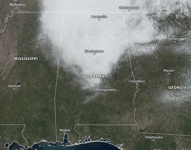
As we have hit the midday hour on this last Saturday of 2023, we continue to be covered with clouds over much of North/Central Alabama, but the back edge is not that far away. We’ll start to see some slow clearing throughout the rest of the afternoon and tonight. Unfortunately, it will remain a little chilly through the day as afternoon highs are only progged to reach the mid 40s to the lower 50s. Lows tonight will dip into the upper 20 to the lower 30s.
Warm air advection really kicks in for tomorrow, and we’ll see an increase in warmth across Central Alabama. Skies will be mainly sunny throughout much of the day, but some clouds will begin to move in late as a cold front approaches from the west. Highs will be in the upper 50s to the lower 60s.
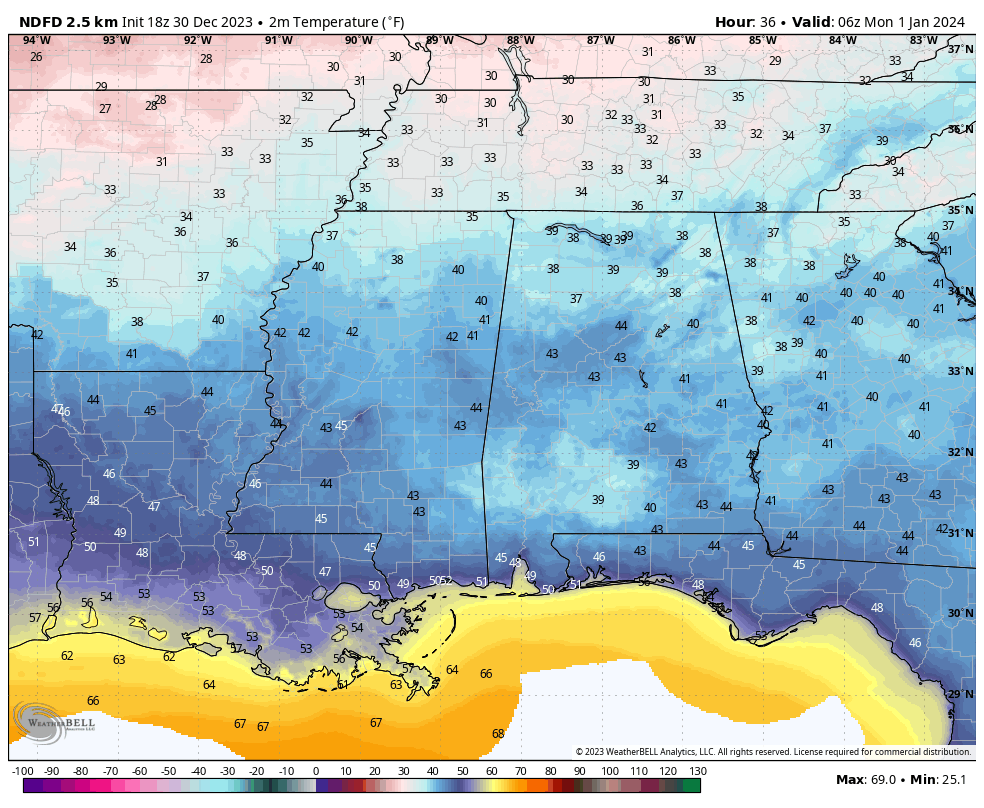
Midnight temperatures.
All models are keeping the transition from 2023 to 2024 dry on Sunday evening through early Monday morning for all locations in the area. However, the GFS and the Spire models have some showers moving across the southern half of the area during the day on Monday, while the European and NAM models are keeping the area relatively dry. Temperatures at midnight will be in the upper 30s to the mid 40s across the area, and highs will be in the mid 40s to the lower 60s from northwest to southeast on Monday afternoon.
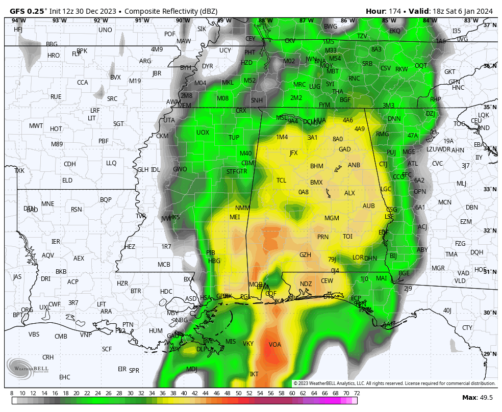
Our next good soaking rain continues to be shown arriving on Saturday, January 6, as the GFS is painting the entire state receiving rain that will help out in our drought deficiencies. Unfortunately, it will not be drought-busting rainfall as totals only look to top out in the 1-2 inch range across Central Alabama through Monday, January 9th. We may have to keep our eyes on this one as the European model is now starting to put some instability into the mix. Still not a severe weather look yet, but thunder now looks to be likely for some.



