


Warm air advection continues, and temperatures are above freezing across all of Alabama. No travel problems have been reported this afternoon, and no problems are expected along I-20 tonight, just a soaking, widespread rain.
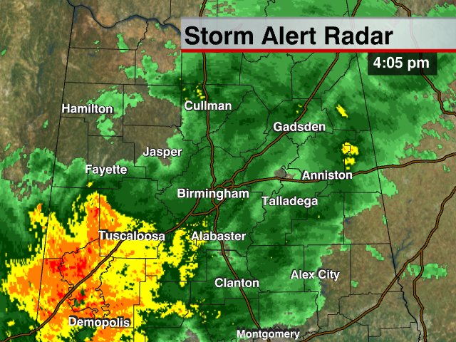
Late tonight, after midnight, colder air will begin moving back into Alabama, and there is a chance of some sleet/snow/freezing rain up over the Tennessee Valley of extreme North Alabama as this event winds down, and there could be icy spots on bridges up north, in cities like Muscle Shoals, Decatur, Huntsville, and Scottsboro. Isolated icy bridges are possible as far south as U.S. 278, but nothing really widespread. And, again, Birmingham, Tuscaloosa, and Annstion should not deal with any icing problems at all.
Tomorrow will be windy and cold, mostly cloudy with morning snow flurries possible. Again, temperatures will be in the mid to upper 30s during the day, so we expect no travel problems. All of the big issues remain up in Arkansas, Tennessee, and North Carolina. I will be posting more pictures shortly…



