


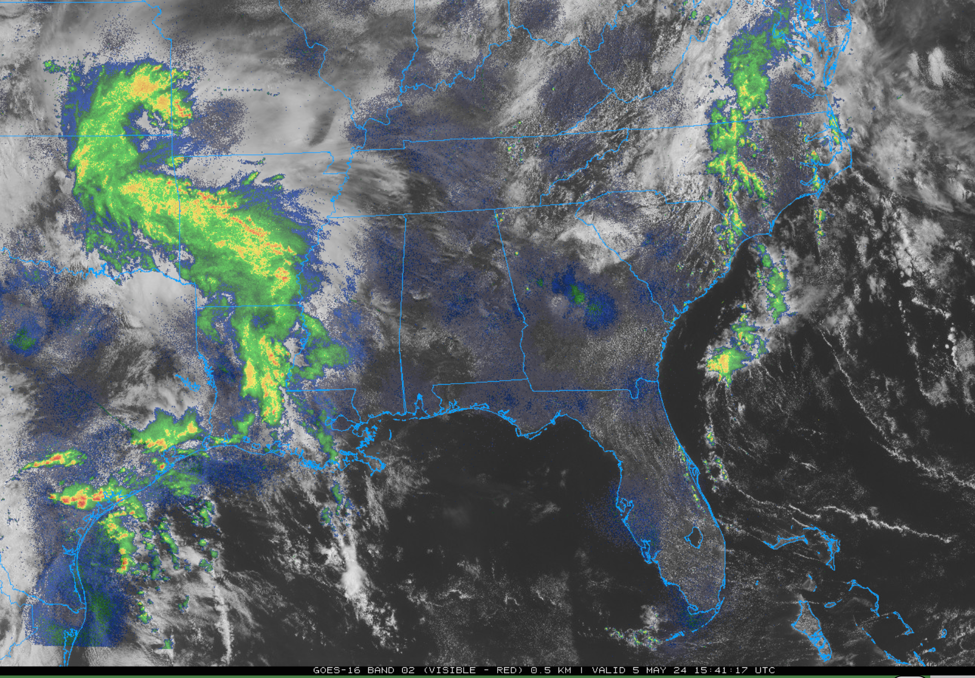
It is a warm Sunday across Alabama. Skies are generally mostly sunny with temperatures in the upper 70s to lower 80s.
Showers and thunderstorms are moving across eastern Texas, southeastern Oklahoma, Arkansas, and Louisiana. They are associated with an upper-level wave pushing eastward.
The southern extent of the precipitation shield associated with the wave will wither through the afternoon as it reaches the Alabama/Mississippi border. But it will encounter modest instability, which will allow for some thunderstorms to re-strengthen. There is insufficient instability for them to become severe, but some will have lightning, heavy rain, and gusty winds.
The precipitation should move out of the state during the predawn hours.
Additional showers and some thunder will move into Northwest Alabama after 2 a.m., but they should exit into Tennessee before sunrise.
Monday will be mostly dry with the exception of a few showers that will form during the day, perhaps lasting into the evening. But they will be very isolated and brief. Highs will be in the 80s.
An unsettled pattern will affect Alabama the rest of the week. Tuesday will feature slightly better rain chances with fewer on Wednesday.
Thursday will be the interesting day with showers and storms become likely. Some of those storms could be severe.
A unusually strong cold front will pass through on Friday, setting the stage for an absolutely beautiful Saturday and Sunday. Rain and storms will return by the following Monday.



