


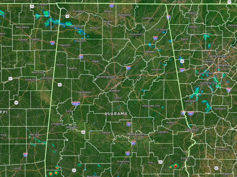
Radar at 10:37 AM.
As we are making our way up to midday on this last Saturday of July, we can already see a few showers forming and moving into the northwestern corner of the state. There is also a pretty hefty shower down in the southeastern parts close to Eufaula. As we continue to get warmer, we’ll see more showers and storms pop up, especially with a surface front moving in. Scattered to numerous showers and storms will be likely south of a line from Jasper to Birmingham to just north of Auburn, while rain chances slowly decrease as you move north of that line. Afternoon highs will make it up into the upper 80s to the lower 90s. We’ll continue to have scattered showers and storms possible overnight and into the early morning hours, but chances will be less than the daytime’s chances. Lows will be in the lower to mid 70s.
Sunday will be one of those days when outdoor plans will most likely need to be moved indoors. Widespread rain and storms will be highly likely throughout the entire day. I don’t believe it will be an all day wash out, but rain will be likely at times. Severe weather is not expected, but I can’t rule out a strong storm somewhere. Afternoon highs will top out in the mid 80s to the lower 90s.
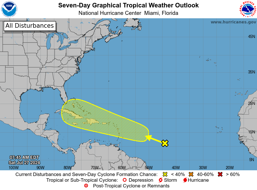
7-Day Tropical Weather Outlook graphic.
Near the Lesser and Greater Antilles:
An area of disturbed weather over the central tropical Atlantic Ocean is expected to interact with an approaching tropical wave during the next several days. Development of this system is possible while it approaches the Lesser Antilles during the early to middle part of next week and moves generally west-northwestward near or over the Greater Antilles towards the latter part of next week. Formation chance through the next 7 days is low, around 30 percent.



