


Here is the new Day One Convective Outlook from SPC…
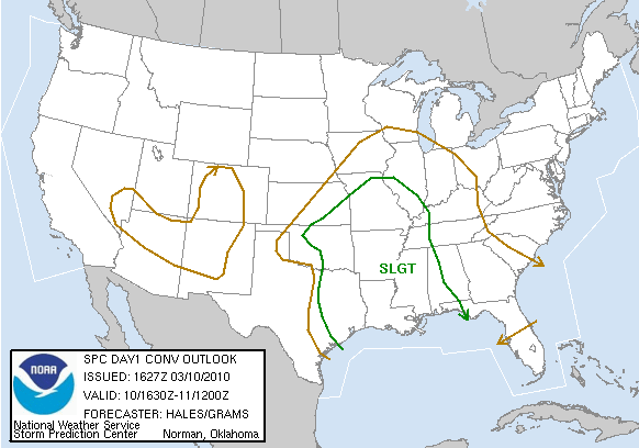
The standard “slight risk” has been pulled a little eastward in the western part of Alabama for this afternoon and tonight.
Below is the projected surface based CAPE for the Southeast U.S. at 0230Z, or 8:30 tonight:
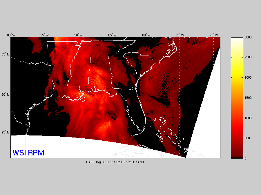
You can see a little instability max in the general area from Clanton to Camden to Atmore. If this instability can be reached, we could very well see a few strong to severe storms later today and early tonight. But, for now, the air is rain cooled and stable. The current CAPE is below… as you can see, the surface instability for now remains well to the south and west…
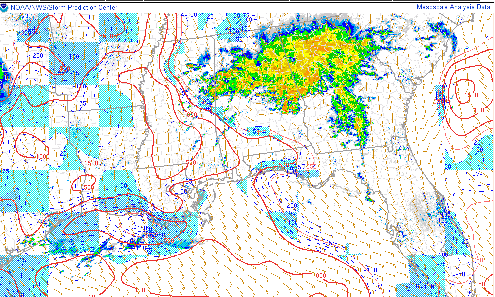
BOTTOM LINE: A few strong to severe storms are possible later today and tonight, mainly for areas west of I-65, and south of I-20. The biggest threat remains from flash flooding as heavy rain continues to fall. My rain bucket in North Shelby County is now up to 2.20″…



