


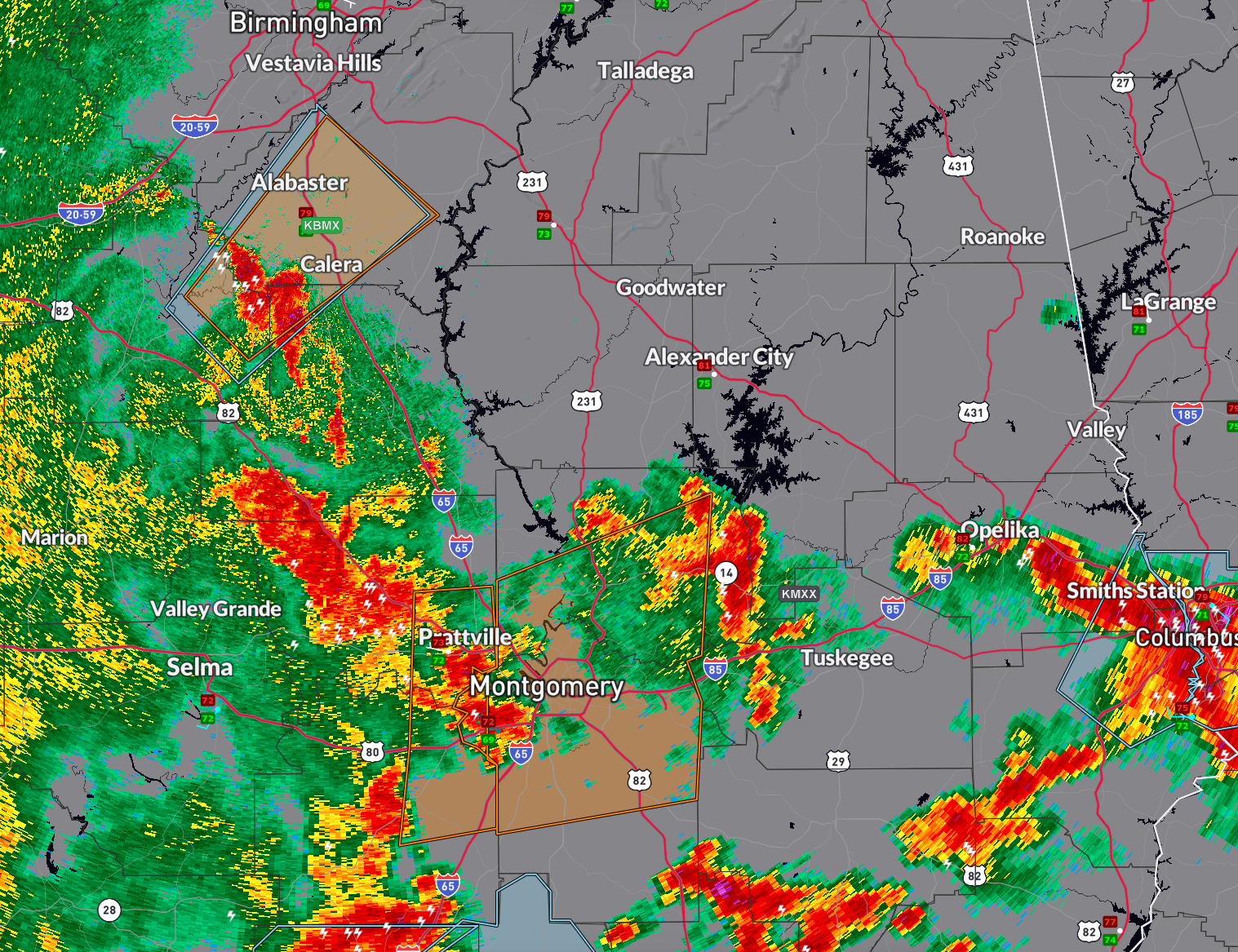
The National Weather Service in Birmingham has issued multiple Severe Thunderstorm Warnings this evening across central and south-central Alabama.
A warning is in effect until 7:30 PM CDT for north-central Chilton County, southwestern Shelby County, and east-central Bibb County. At 6:43 PM, a severe thunderstorm near Montevallo was moving northeast at 35 mph, capable of producing wind gusts to 60 mph and penny-size hail. Communities in the path include Alabaster, Pelham, Helena, Calera, Montevallo, Columbiana, and Indian Springs Village.
A separate warning is in effect until 7:45 PM CDT for Elmore and Montgomery counties. At 6:42 PM, severe storms were located from Booth to Beechwood, moving east at 35 mph. These storms are producing wind gusts up to 60 mph. Locations impacted include Montgomery, Prattville, Millbrook, Wetumpka, Pike Road, Maxwell AFB, and Auburn University at Montgomery.
Residents in all warned areas should seek shelter in an interior room away from windows. Gusty winds may damage roofs, trees, and powerlines. Stay indoors and stay informed until the warnings expire.



