


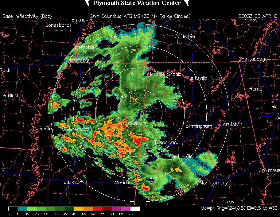
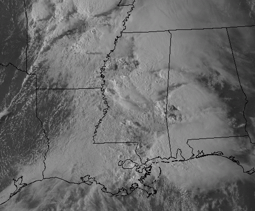
Way ahead of the main storm system, thunderstorms have developed over MS and SW AL, and are moving toward central AL. From here at Panama City, can see dark clouds of approaching thunderstorms. However, dewpoints drop off quickly from eastern MS into central AL, where the moist air hasn’t made it yet, so even though there may be a couple of warnings in west Alabama this evening, the storms should weaken somewhat as they move east of the Tombigbee.
However, the moist, unstable air will continue to progress eastward. Dewpoints in LA are in the 70s, and dewpoints may approach 70 in central Alabama tomorrow. As James and I said earlier, have a plan for severe weather tomorrow, and keep a source of info nearby. Sleep with a NOAA weather radio turned on. We will see severe weather tomorrow, including isolated tornadoes. If we have a break in the clouds, allowing temperatures to warm into the mid or upper 70s, this could become a big time, major weather event.
Either way, it is a dangerous weather situation.



