


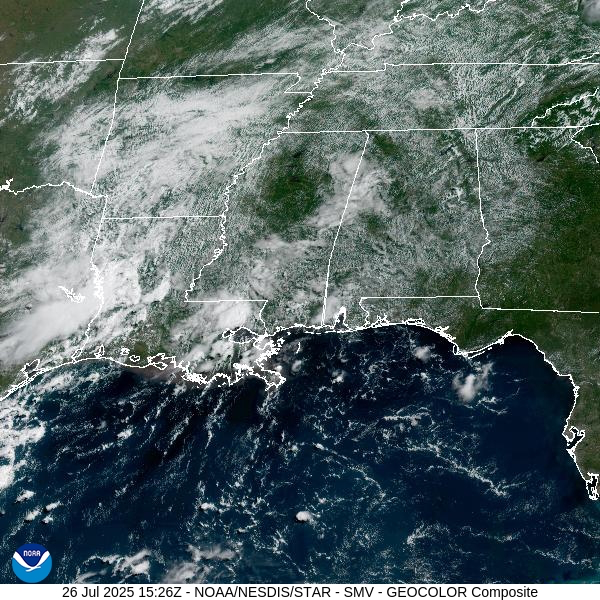
We’re starting to feel more like the middle of summer out there. A big ridge of high pressure is building just to our east, and that’s helping crank up the heat while keeping most of us dry today. A few isolated showers or storms might try to develop this afternoon, especially in the far southwest part of the state, but for the rest of Central and North Alabama, rain chances are very low.
Temperatures today will climb into the lower 90s across most of the area, with some mid 90s possible in the southwest. It’s going to feel even hotter though—humidity will push heat index values into the upper 90s, so be sure to stay hydrated and take breaks if you’re working or playing outside.
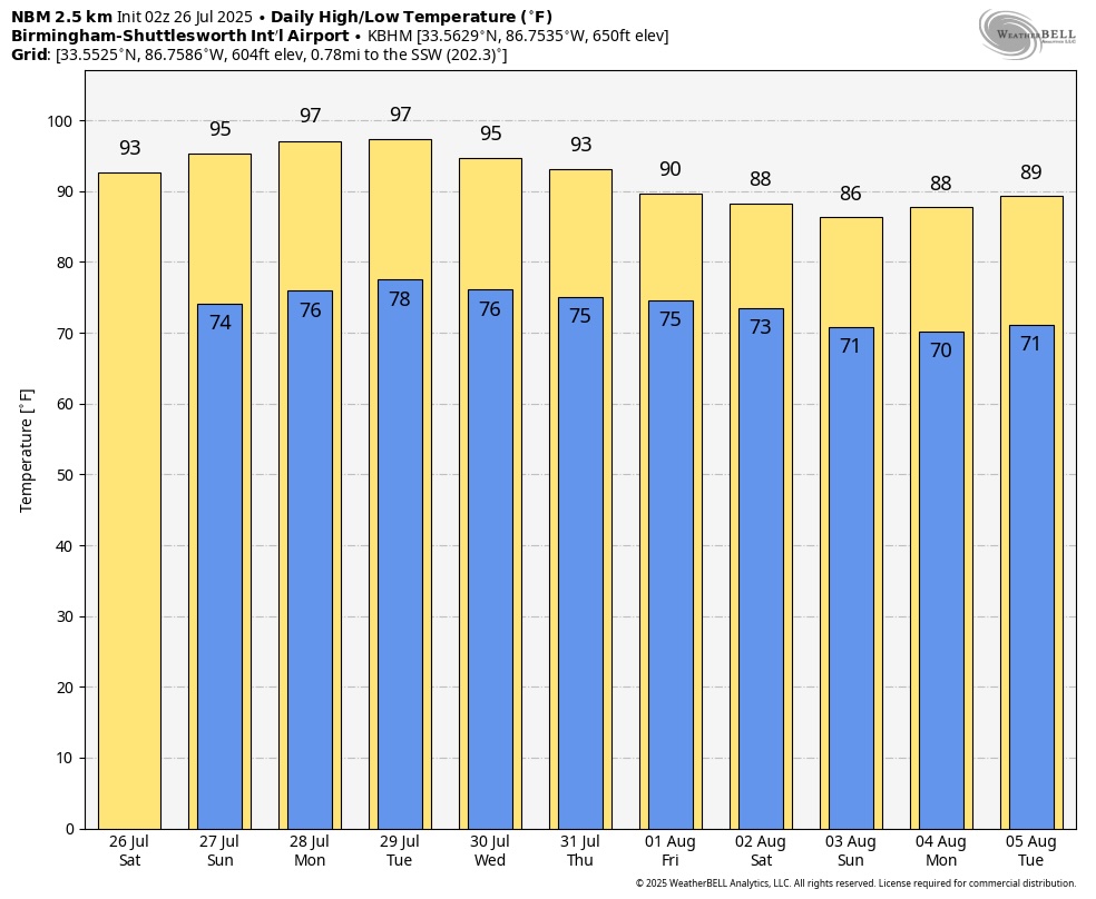
Sunday is looking hotter and drier as that ridge of high pressure settles right over us. Rain chances drop to just about zero for most of the state, and the heat will really start to take center stage. Highs will reach the mid 90s across both Central and North Alabama.
With humidity staying high, it’s going to feel like it’s over 100 degrees in many areas—especially in the lower elevations and cities. Even the overnight hours won’t offer much relief, with lows only dipping into the mid to upper 70s by Monday morning.
If you’re going to be outside Sunday, take it easy, find some shade when you can, and check on pets and neighbors. We’re not under any formal heat alerts yet, but we’re heading into that kind of territory.



