


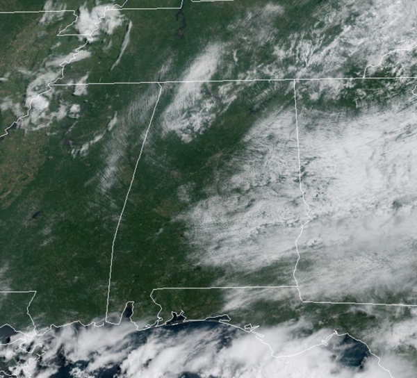
CALM AUGUST WEATHER: Through Sunday, afternoon highs will be in the upper 80s and lower 90s, which is right at average for this time of year. Today and tomorrow, only isolated showers and storms are expected during the afternoon and evening hours. Rain chances will be a bit higher on Sunday, closer to 50%, as showers and storms will become more numerous; highs Sunday should mainly be in the 80s.
BIRMINGHAM ALMANAC: For August 8th, the average high for Birmingham is 91° and the average low is 72°. The record high is 104° set in 1935, while the record low is 60° set in 1990. We average 0.14” of precipitation on this date and the record value is 2.85” set in 1912.
ACROSS THE USA: Scattered severe thunderstorms may produce damaging winds, large hail, a tornado or two, and heavy rain in the Northern Plains today, and across parts of the Upper Midwest through Saturday. The threat of excessive rainfall is expected across northern Minnesota through tonight, shifting farther south into Iowa, southern Wisconsin and northern Illinois this weekend. Very hot temperatures will continue through today across the Desert Southwest, which could break daily high temperature records with triple-digit heat.
NEXT WEEK: To start the week, temperatures will not change much, upper 80s mostly, but towards the end of the week, heat levels look to climb into the low 90s. Rain chances for the first half of the week will be above average, 50-60%, but will decrease for the second half of the week as showers and storms become more isolated. Overall, no big ticket weather item for Alabama the next 7-10 days.

IN THE TROPICS: The National Hurricane Center continues to monitor two features, but neither is a threat to Alabama or the U.S.
Off the Southeastern United States, a weak area of low pressure located a couple of hundred miles off the coast of North Carolina is producing a few disorganized showers and thunderstorms. Development of this system, if any, is expected to be slow to occur over the next day or two while it moves northeastward at 10 to 15 mph. The low is likely to merge with a front over the weekend, ending its chances for tropical or subtropical development. Formation chance through 7 days…low…10 percent.
In the Central Atlantic (AL96) is a tropical wave over the central tropical Atlantic producing minimal shower activity. Development of this system appears unlikely during the next day or two due to surrounding dry air, but environmental conditions are forecast to become more conducive in a few days. A tropical depression could form during the early or middle part of next week while the system moves northwestward to northward across the central tropical and subtropical Atlantic. Formation chance through 7 days…medium…50 percent.
The next names up are Erin and Fernand.
WORLD TEMPERATURE EXTREMES: Over the last 24 hours, the highest observation outside the U.S. was 121.8F at Al Ahsa, Saudi Arabia. The lowest observation was -96.7F at Vostok, Antarctica.
CONTIGUOUS TEMPERATURE EXTREMES: Over the last 24 hours, the highest observation was 121F at North Shore, CA. The lowest observation was 25F at Mackay, ID.



