


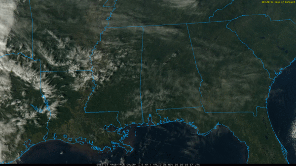
SUNNY, COOL FRIDAY: Temperatures are mostly in the 50s across Alabama this afternoon with a good supply of sunshine. Tonight will be fair and cold with a low in the 25-35 degree range.
THE WEEKEND: Clouds will increase tomorrow; and some rain could reach the far western counties by late afternoon. Rain becomes likely statewide after midnight tomorrow night into Sunday…. the air will be cool and stable so we expect no thunder. Rain amounts of around 1/2 inch are likely before it ends Sunday afternoon/evening. The high Sunday will be generally in the 50s.
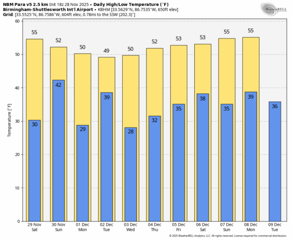
NEXT WEEK: A few spotty showers are possible Monday, then we deal with a good statewide rain event Monday night and Tuesday morning. This will be a cold rain with temperatures in the upper 30s and 40s; no thunder with the cold, stable airmass in place. Rain amounts of 1-2 inches are likely.
The weather will be cool and dry Wednesday and Thursday before the next chance of rain Friday… See the video briefing for maps, graphics, and more details.
IRON BOWL: For the big game tomorrow night (Alabama at Auburn, 6:30p CT kickoff at Jordan Hare Stadium)… the weather will be cold and dry with temperatures hovering in the mid to upper 40s. During the day tomorrow the high will be in the mid 50s in Auburn with high clouds increasing.
ON THIS DATE IN 1921: New England was in the midst of a four-day ice storm, their worst of record. Ice was more than three inches thick in many places following the storm, and property damage was in the millions of dollars. Northern New England received heavy snow with more than two feet reported in some areas. Overnight freezing rains continued through the day at Worcester, MA while the wind increased to a gale. Streets become impassable even on foot, and whole towns were plunged into darkness without communication.
Look for my next video briefing here by 6:00 a.m. Monday… enjoy the weekend!



