


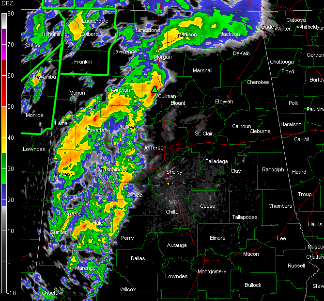
Showers and storms are approaching the Birmingham metro at this hour, but nothing is severe, or even strong at this point. That’s good news.
The airmass over Alabama is relatively stable despite the warm temperatures and high dewpoints. And an even bigger deterrent to storm development has been a couple of caps, or temperature inversions in the atmosphere over Central Alabama. This, plus the dynamics are lifting to the north and taking away that component of the severe weather equation.
The front is progressing eastward now across western Mississippi. Thunderstorms are redeveloping right along and ahead of the front that is near Yazoo City. The air air is more unstable back over Western and Central Mississippi and a severe thunderstorm warning is in effect now for several counties near Winona, or north of Jackson.
These storms will affect Alabama later from around Marion County north and northeastward, where the severe thunderstorm watch remains in effect.
But further to the south, with stable air and the caps in place, hopefully they will remain fairly tame.



