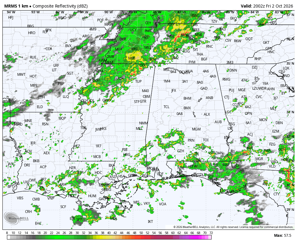
RADAR CHECK: We have scattered showers over South Alabama this afternoon… generally south of U.S. 84. The rest of the state is dry with temperatures in the upper 80s and low 90s. Showers will end tonight soon after sunset.
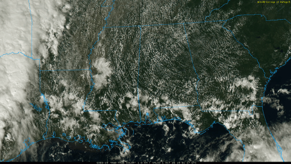
Showers are possible statewide tomorrow as moisture levels rise. Any one location has a 50/60 percent chance of seeing rain, mainly during the afternoon hours into tomorrow night.
THE WEEKEND: With the approach of a cold front and upper trough, we will have some rain at times across Alabama over the weekend. Here are the key messages…
*The weekend won’t be a wash-out. In fact, models are trending drier for Saturday and it now looks like a decent part of the day will be dry. The most widespread rain will most likely come on Sunday.
*Rain amounts over far South Alabama will be in the 1-2 inch range for most places with isolated heavier amounts. We expect around one inch for the central counties, and amounts will be under one inch for the northern part of the state.
*Some thunder is possible, but we do not expect severe thunderstorms. This isn’t a setup for severe weather.
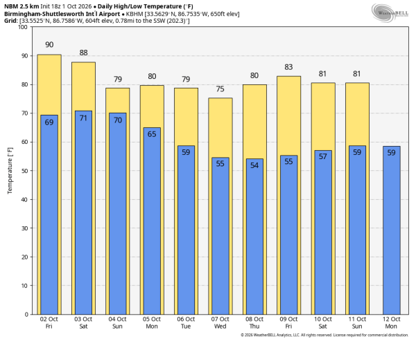
*Highs will be in the 80s on Saturday; if the sun breaks out a few spots could see 90 degrees. The high Sunday will be close to 80 with clouds and showers.
NEXT WEEK: A few lingering showers are possible Monday over South Alabama, otherwise the week at this point looks dry with highs in the 70s/low 80s, and lows mostly in the 50s. See the video briefing for maps, graphics, and more details.
TROPICS: A low pressure area associated with the remnants of former Tropical Storm Fay is located several hundred miles southeast of Bermuda. While thunderstorm activity has increased since yesterday, dry air and strong upper-level winds are expected to prevent significant re-development while it moves northwestward, to the east of Bermuda. Any formation chances should end by Sunday due to very strong upper-level winds. Chance of development is only 10 percent, and the rest of the Atlantic basin remains quiet.
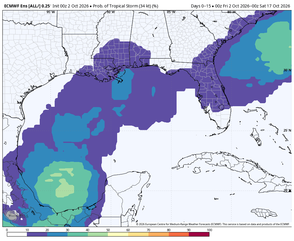
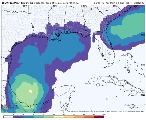
Long range model guidance continues to hint at some potential for development in the far Southwest Gulf in 7-10 days; it is just something to watch for now.
FOOTBALL WEATHER: Alabama travels to Starkville to take on Mississippi State Saturday (11a CT kickoff). The situation looks much drier; while a shower is still possible it now looks like much of the game will be rain-free. Temperatures will be in the 80s.
Auburn is also on the road; they play Tennessee in Knoxville (2:30p CT kickoff). A shower is possible, but much of the afternoon is now looking dry. Temperatures will hover around 80 degrees during the game.
UAB will host Samford at Protective Stadium in Birmingham Saturday (2:30p CT kickoff). A shower is possible during the game, but the rain won’t be widespread and much of the afternoon should be dry. Temperatures will be in the mid to upper 80s at kickoff.
Tuskegee, Alabama A&M, South Alabama, West Alabama all have home games (Alabama A&M plays in Mobile); showers are possible, but the overall trend is toward a drier forecast.
ON THIS DATE IN 1977: An F3 tornado traveled through Montfort Heights in the greater Cincinnati area, it destroyed 12 homes and damaged 15 others. There were 17 injuries.
Look for the next video briefing here by 6:00 a.m. tomorrow…