


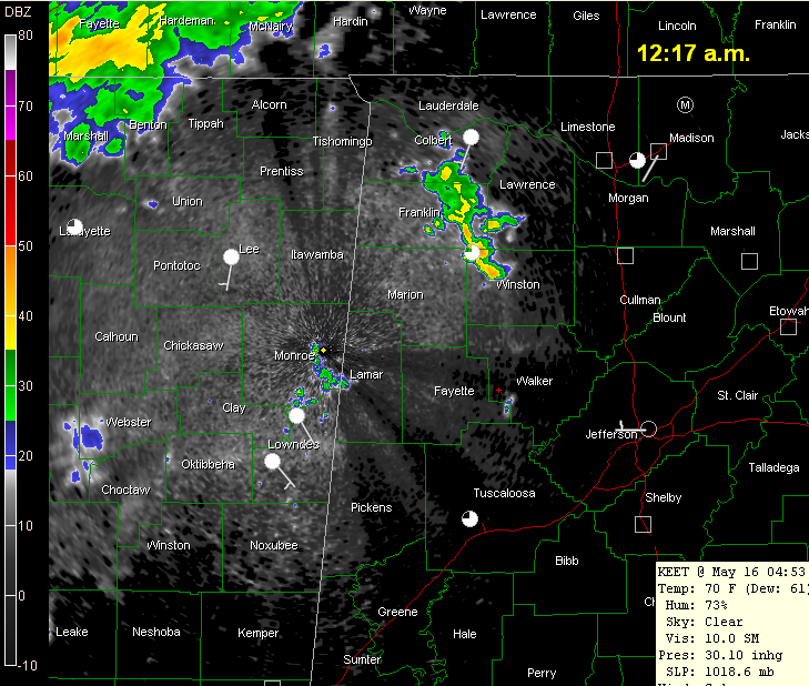
Our inhouse model, the WSI RPM, was extremely accurate in its prediction that showers would form late this evening over Northwest Alabama.
The latest run of the RPM keeps the thunderstorm development in the Alabama counties next to the Mississippi border through the morning hours and up until noon.
I would expect this to move eastward during the afternoon, but perhaps areas near and east of I-65 could get through much of the afternoon before rain and storms get rolling.
But the GFS and NAM models are much more bullish on precipitation chances tomorrow, outputting 70-80% probabilities of precipitation during the day.
So, if you are involved with outdoor activities tomorrow across Central Alabama, check the radar and latest forecasts during the morning. ANd keep a weather eye to the sky.



