


Scroll down and see James’ posts on the best route to Alabama’s beaches and the NOAA hurricane report below.
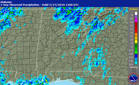
You can see where the thunderstorms yesterday fell apart, along a line from Moulton to Cullman to Vandiver. Where the rain fell yesterday, the ground is wet and not warming up quite as fast. Also, the storms produced an outflow boundary of cool air to their west yesterday. These events are producing more warmth and instability over west Alabama, and the old outflow boundary from yesterday may be visible on satellite in west Alabama.
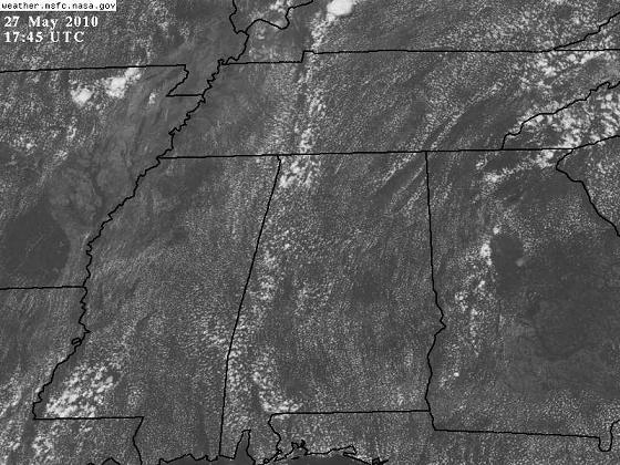
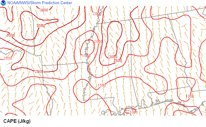
A few thunderstorms have already developed in west Alabama, and that area, due to yesterday’s storms to the east, could be the focus for thunderstorms today. We all have a 10-20% chance of storms, but the chance is higher west of I-65.



