


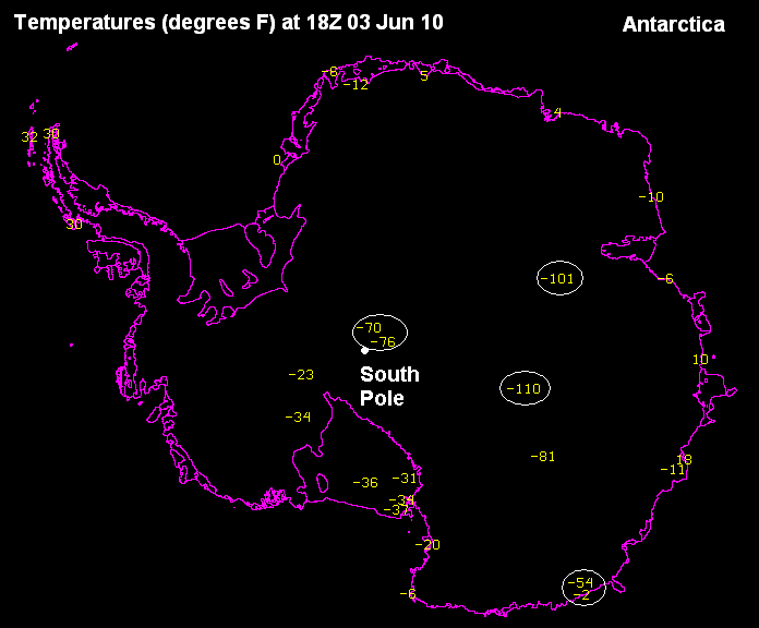
Amazing temperatures today! Two observations of temperatures colder than 100 below zero, and one at -110. Also notice the huge difference between the coastline and inland on the lower right edge…about 50 degrees in less than 50 miles. Imagine the land breeze.
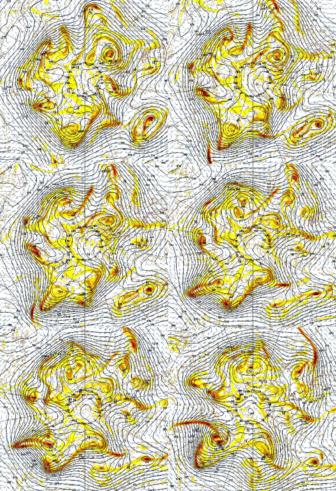
Below are the 500 mb heights and vorticity forecast near the South Pole. In the Southern Hemisphere, the Coriolis effect due to the earth’s rotation causes flow around highs to be counterclockwise, and around lows clockwise, opposite from here. The waves in the flow are known as Rossby waves. These help conserve absolute rotation, or vorticity. The earth is rotating clockwise in the picture, so the largest rotation is in the middle. As air moves away from the south pole, these waves form to give the air more rotation since their rotation associated with the earth decreases.
Take a look at the 1000-500 mb thickness. There is a reading of 444 near the coldest air.
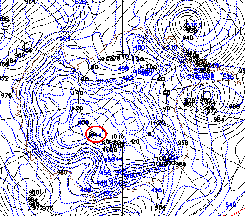
The thickness decreases in cold air, because it is more dense. Here, thickness below 542 indicates the atmosphere is cold enough for snow. Today, the thickness measured at Calera was 570. So, the difference between winter and summer is only 5-10%. 570 means the average atmospheric temperature between the surface and 500 mb (about 19,000 feet) is about 46 degrees. Wow.



