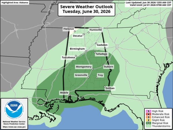
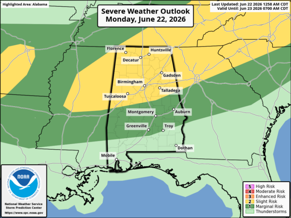
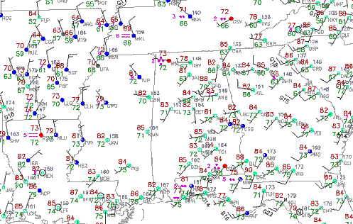
At 10:40 am, a cold front extended from near Cookeville, TN to near Tupelo, MS then into southern AR. Behind the front, temperatures were in the 60s to lower 70s in most places, while it heats up through the 80s ahead of the front in BHM.
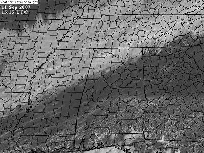
Showers were already forming near the front in NW AL, with a little bit of lightning picked up by the LMA. As the front continues slowly south today, and moves into more unstable air, showers and storms will intensify and move further southward, probably moving into Cullman by noon, and into BHM this afternoon. There is little wind shear, but there could be enough instability for a couple of storms to produce gusty winds this afternoon.
Tomorrow should be pleasant, with low humidity and highs in the 80s.
More on the bigger cold front coming this weekend later…