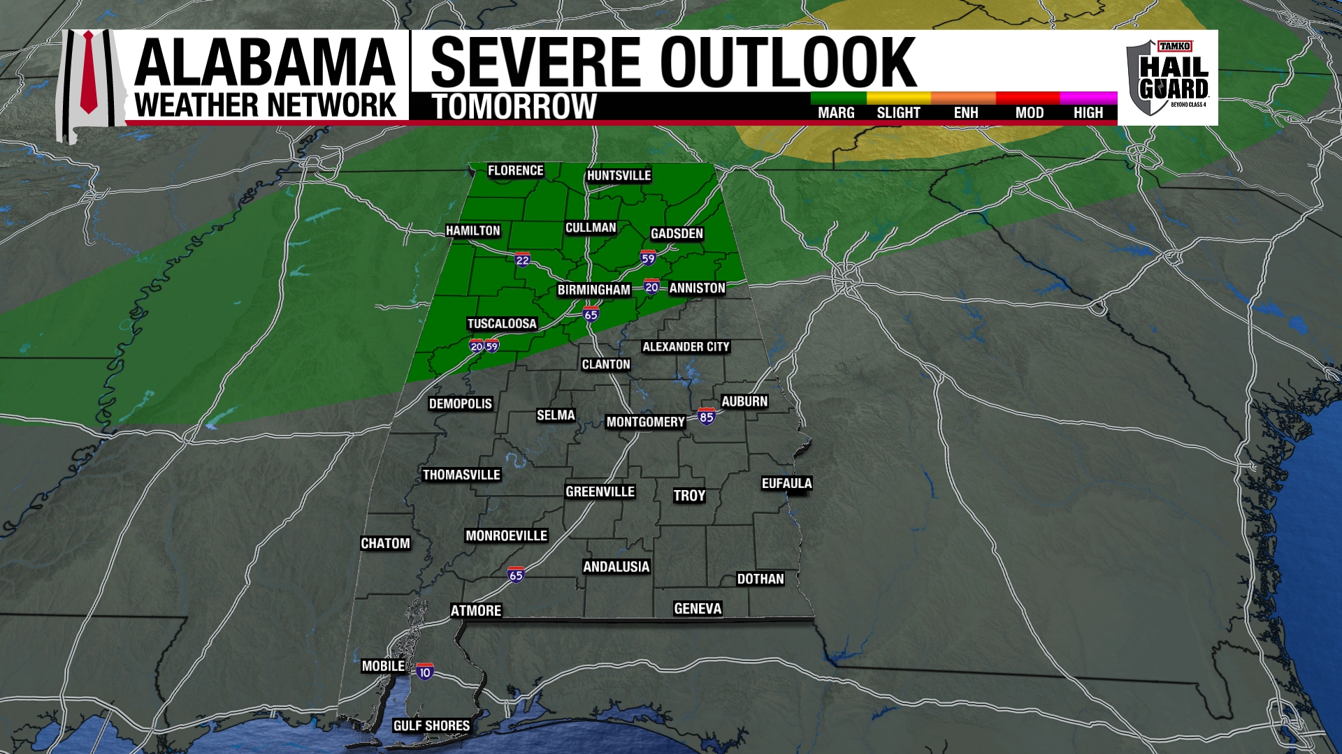
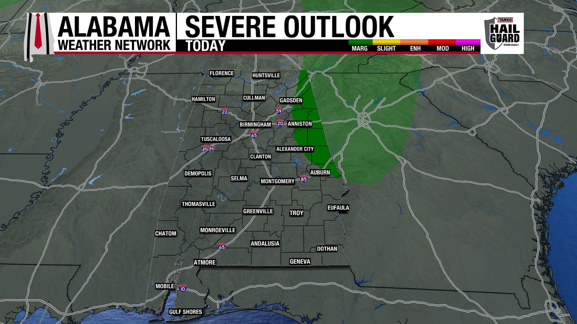
The eastward progression of the thunderstorms has been rather slow, but strong storms continue from north-central Alabama, near Cullman, all the way down to SE Mississippi near Meridian. There have been reports of tornadoes and wind damage in Mississippi and NW Alabama a few hours ago.
As we have mentioned earlier, the big deal this morning is the wind shear, or winds changing direction and speed with height. This helps storms rotate, and means that strong winds are not far above the surface and can be brought down by a downdraft causing wind damage. The instability is weak, but just enough for the storms to go on.
One thing I have noticed is that the low-level winds have veered around a little over central AL since 2 am, decreasing the helicity somewhat. Hopefully, this trend will continue, causing rotating storms moving out of SE MS into west Alabama to weaken by daybreak. But, there is still enough wind shear that tornadoes are possible as far east as Birmingham, with the main threat between 6 am and 9 am. Either way, we will see storms and heavy rain off and on through the morning hours, so be very careful when driving to work this morning, and keep an eye on the weather at all times. If a tornado warning is issued for your area, take shelter immediately.