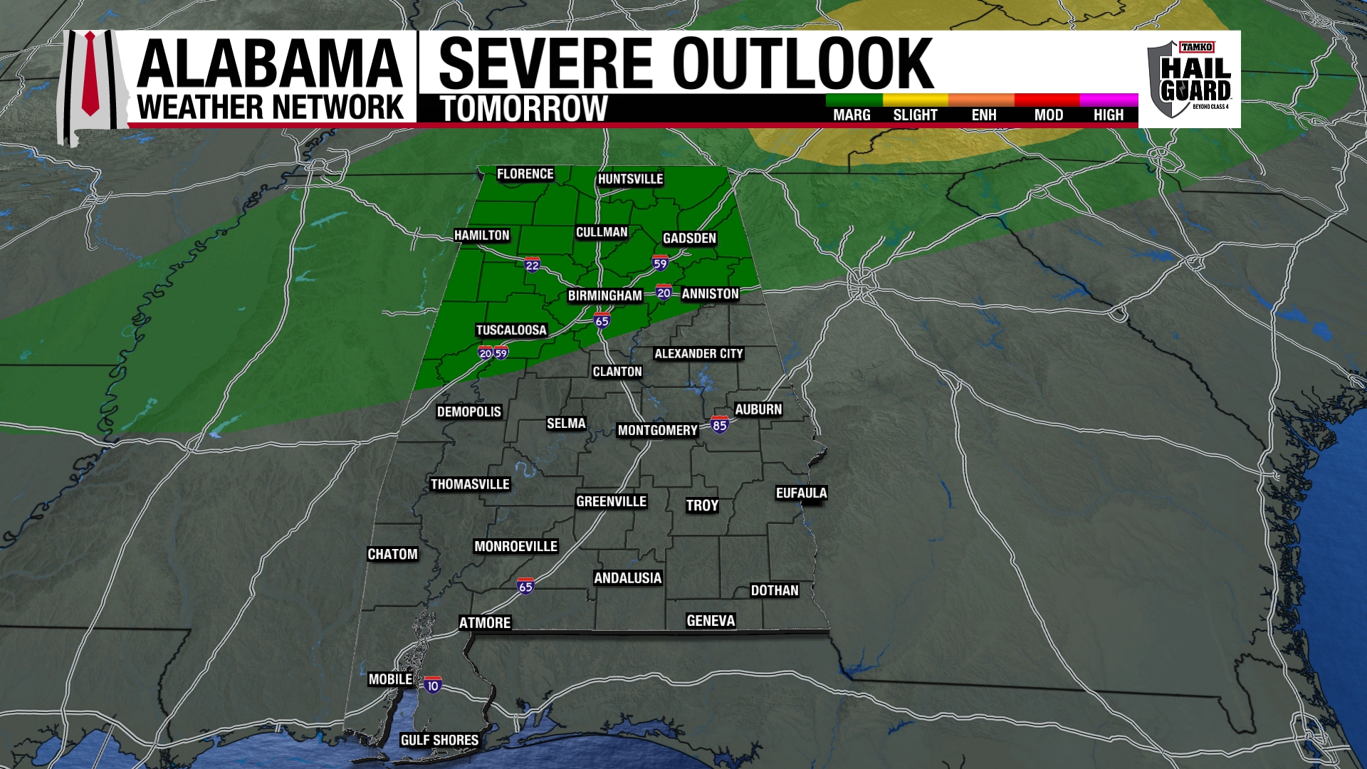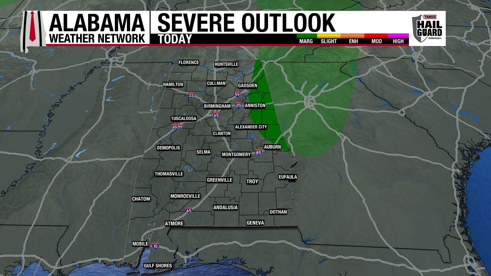
Storms continue to develop over central AL…we’ve seen quite a lightning show here at Warrior River in Walker County so far (some of the pink lightning far off coming through rain, and close, bright lightning and house-shaking thunder). Rain right now is very heavy, we have probably gotten a 1/2″ or more in the last 2 hours.
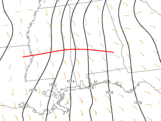
The map above shows isobars. Notice the kink along the red line (weak warm front) in central MS. This front may produce additional wind shear for storm rotation…and was near Jackson when the tornado hit the airport there. Where this front goes will help determine where the main northern extent of tornado threat is overnight. It may have a hard time moving much further north. Notice how most of the storms and heavy rain are north of the front, but the most dangerous ones are near and south of it.
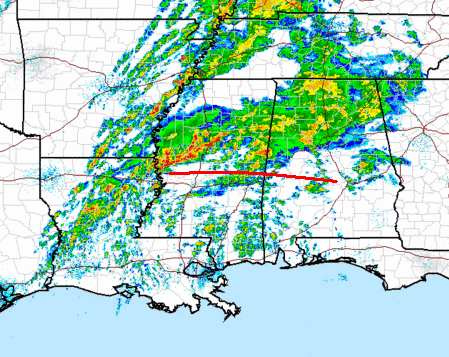
A small disturbance may help this boundary move farther NE tonight…exactly how far we don’t know. I think the main tornado threat overnight in Alabama now is SW of a line from Millport to Calera to Montgomery, a little smaller than before.
Still, with wind shear and storms continuing overnight, especially as the front approacches after midnight, we could see damaging winds, flooding, and isolated tornadoes. Expect a tornado or severe thunderstorm watch to be issued by 11 pm.
Please keep an eye on the weather tonight and tomorrow morning.