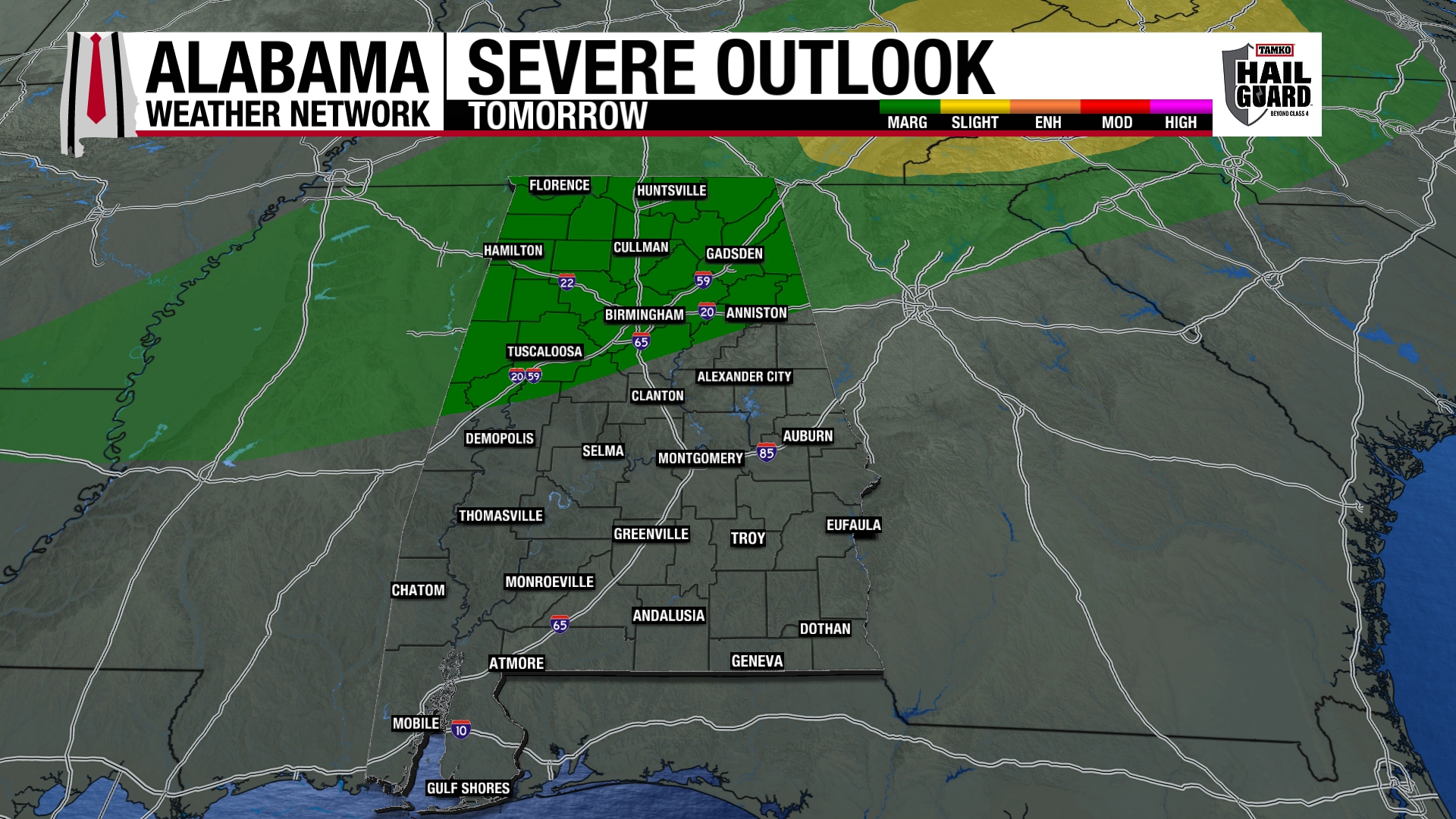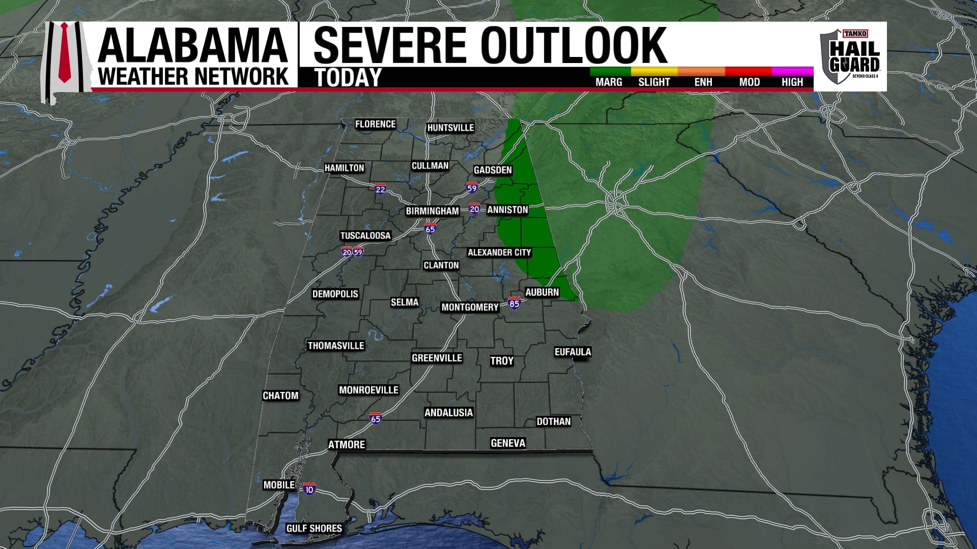
FOR UPDATE O N SPECIFIC STORMS…SEE BILL’S POST BELOW…
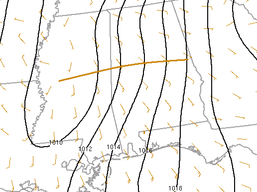
The warm front we’ve been talking about has moved a little farther north since 10 pm, now from near Tuscaloosa to Clanton. As low level winds increase early this morning, the more humid air now in SW AL will move into central AL, with dewpoints likely reaching 60 as far east as TCL by 2 am and BHM by 3 or 4 am. So, the instability, even though it is marginal for tornadoes, will likely make it to I-20.
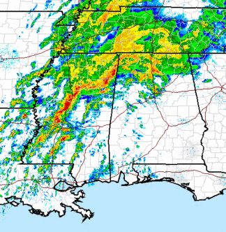
The main storms have been moving slowly the past few hours, and it may be that the main squall line doesn’t move through BHM until after 8 am. However, storms can form ahead of the line, and with the wind shear and the front in place, we can not rule out isolated tornadoes over the next few hours. Damaging winds may also occur.
The other big threat is flooding. Some places in NW Alabama may get another 3″ or more of rain, and 1-3″ has already fallen. Flooding is especially dangerous at night. If water is across the road, turn around and go another way.
Keep a source of weather info handy, especially in areas from BHM and TCL south. NOAA weather radio is great in cases like tonight.