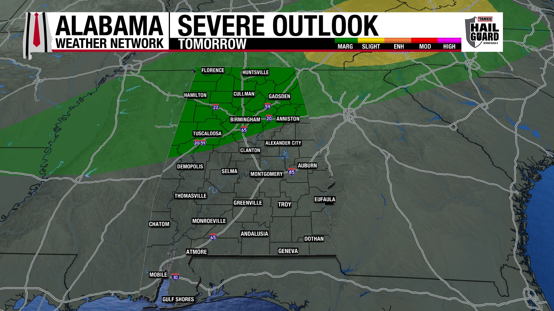
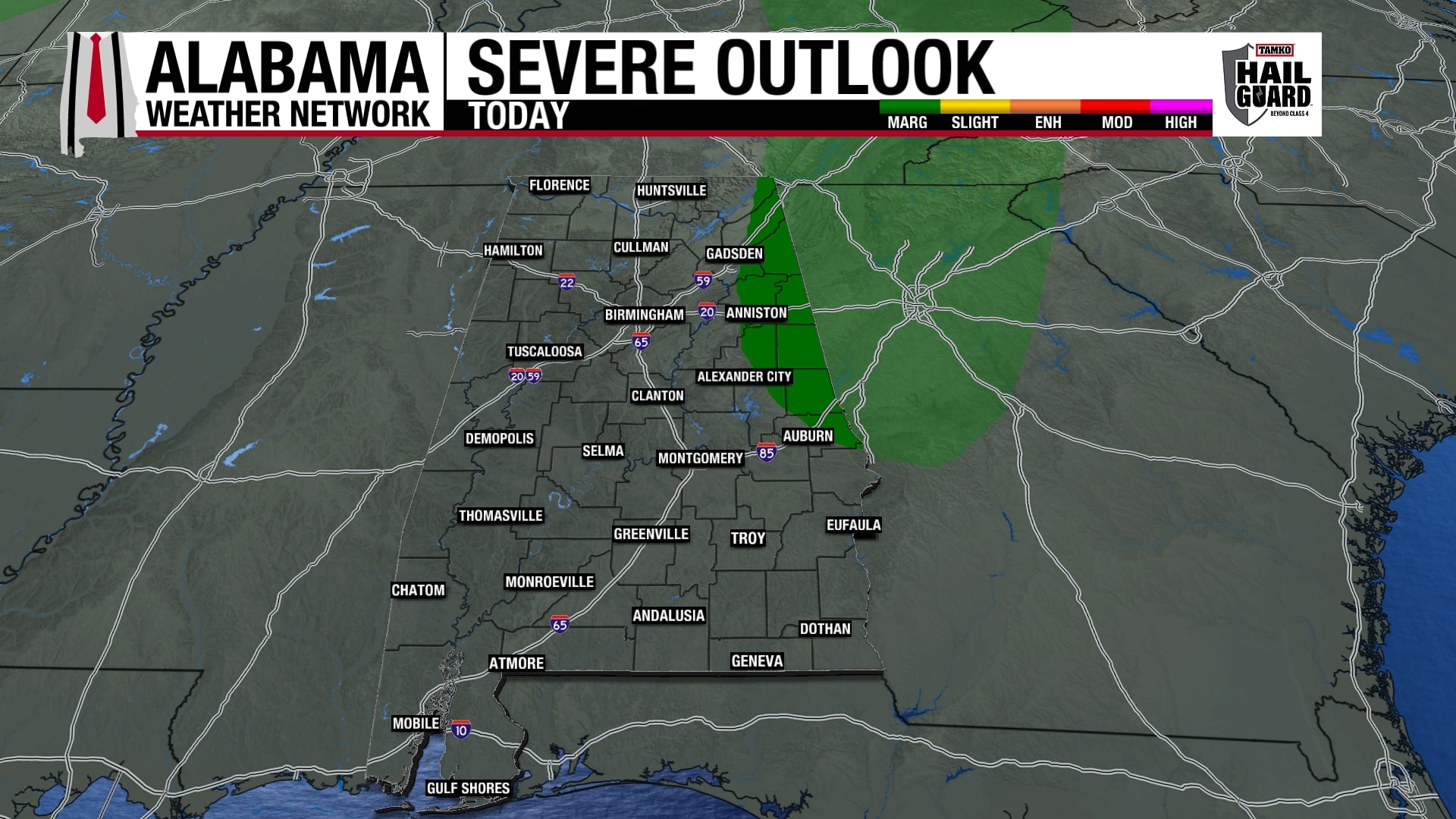
Given that the storms seem to have developed into a line, and have now reached TCL and the dewpoint is only 61 (dewpoint here at Bluff Creek on Warrior River is 60), and given that the storms that were tornadic earlier and further west have weakened as they moved into central Alabama, it looks like the main tornado threat will remain south of the BHM, TCL , GAD, and ANB metro areas.
This is not an all clear for TCL and BHM…there was a doughnut hole in the radar reflectivity in TCL earlier indicating rotation aloft, and wind damage has been reported in west Alabama. Winds just above the surface are 50-70 mph, and thunderstorm downdrafts will bring some of that air to the surface, causing wind damage. Here in the open on the Warrior River, the house actually has shaken a couple of times in high wind gusts. So, keep your NOAA Weather Radio on.
Further south, the tornado threat is higher from about Moundville and Clanton south, but even there it may be diminished somewhat, as the main low-level jet is starting to pull away into north AL and TN.
Don’t get me wrong, the storms approaching are dangerous, with lots of lightning, flooding rains, and damaging winds all possible (or likely). And, an isolated tornado is still not out of the question along and north of I-20…the atmosphere is hard to predict exactly. If you live south of I-20, especially west of I-65 (Livingston, Demopolis, Cuba, etc.), the danger is higher.