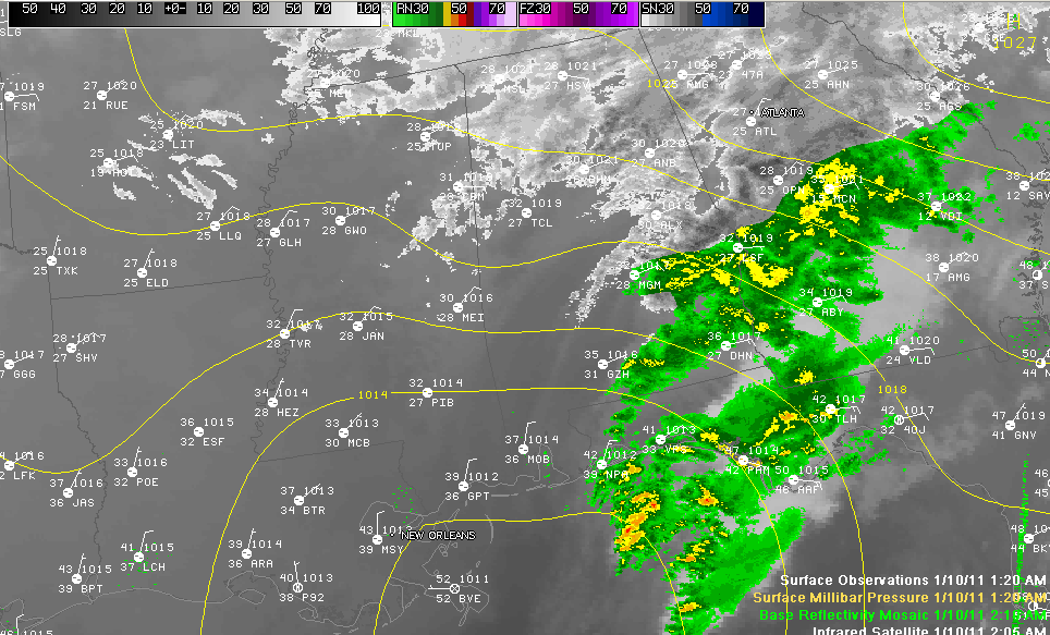
Drier air moving in from the southwest has effectively ended the precipitation southwest of a line from Tuscaloosa to Birmingham to Montgomery to Greenville to Pensacola early this morning. Good thing that it did, as the temperature profile did transition back to one supportive of freezing rain early this morning, but the dry air is making it a moot point.
A few snow showers will affect areas mainly north of I-20 over to Birmingham and then straddling the I-20 corridor into the hours after daybreak.
Winds across the area are very strong out of the east as the surface low passes south of Mobile, weakening as it goes. Those winds averaging 10-15 mph and gusting at times to 20 mph or higher, make it feel like it is in the lower 20s or even teens.
Most counties across North and North Central Alabama are under local area emergencies and travel is strongly discouraged. Roads are extremely slippery and hazardous. Check on local road conditions, business and school closings before venturing out. It is simply too dangerous!
Winter storm watches and warnings cover much of the region today:
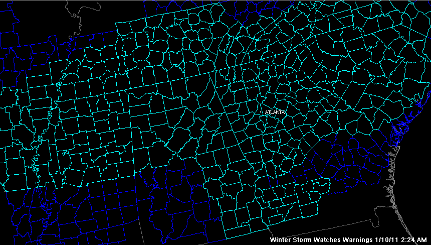
Here are the latest NWS advisories for Central Alabama:
A freezing rain advisory for South central and parts of West Central Alabama…
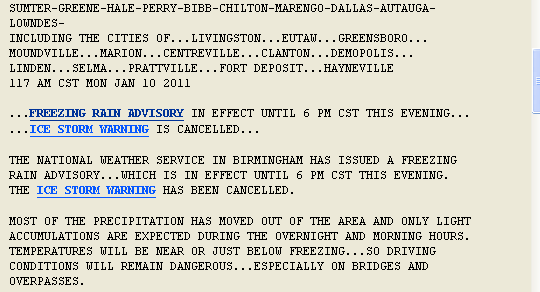
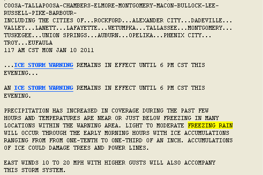
Ice storm warning for East Central Alabama:
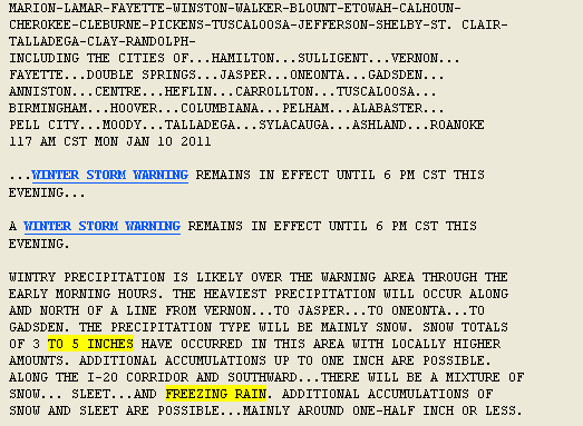
Winter storm warnings for the remainder for North Central and Northwest Alabama: