MAJOR CHANGES TO THE WEATHER
The computer models are in general agreement that a powerful upper-level trough will move east on Monday, then maybe cut off, or separate itself from the progressive flow and slow down. Southerly flow ahead of this system, in addition to a weak disturbance moving inland from the Gulf, will bring in plenty of moisture. This will bring the soaking rain we’ve been wanting to Alabama, beginning early Monday morning and lasting at least into Tuesday.
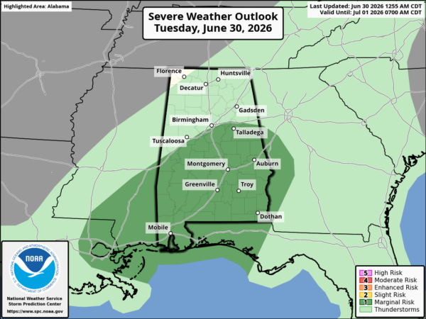
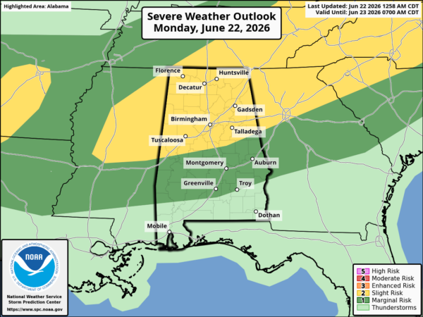
Rainfall amounts look VERY impressive. Between now and Wednesday, most places in Alabama should get 1-2″ of rain, with some spots maybe getting over 4″. This may not be good news for some of the areas, mainly in south Alabama, which received flooding last week, but will be great news for north and central Alabama. There could be a few severe storms on Monday, with the best chance for that in south Alabama. But, the air does not look like it will be unstable like last week.
Once the cold front comes in Monday night, the air will get much colder in a hurry. On Tuesday, expect temperatures to hover in the 50s all day, about 30 degrees colder than today. It will stay chilly on Wednesday, with temperatures in the 30s likely by Wednesday night over parts of north Alabama. Some of us may need the heat by Wednesday!

500 mb heights, in 6-hour increments, from 7 pm Sunday through 7 am Thursday.
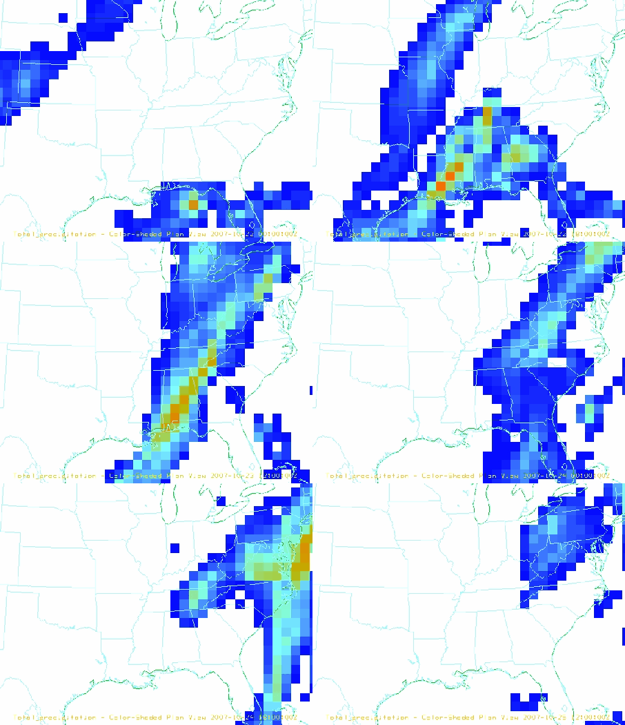
Rainfall amounts.
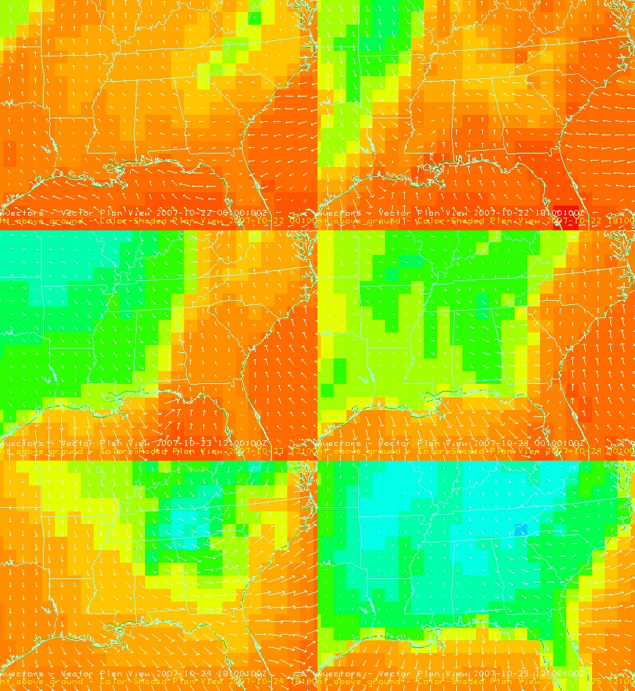
Surface temperatures (color shading) and winds (arrows). Light green and yellow indicates 50s, green indicates 40s, and blue indicates 30s.